Photo Pages. Photos on this page are from sub-basin Below Head Tide
and series Tour- Sheepscot River below Head Tide 2002.
Click on any thumbnail to see a larger photo.
For detailed information on these photos click here.
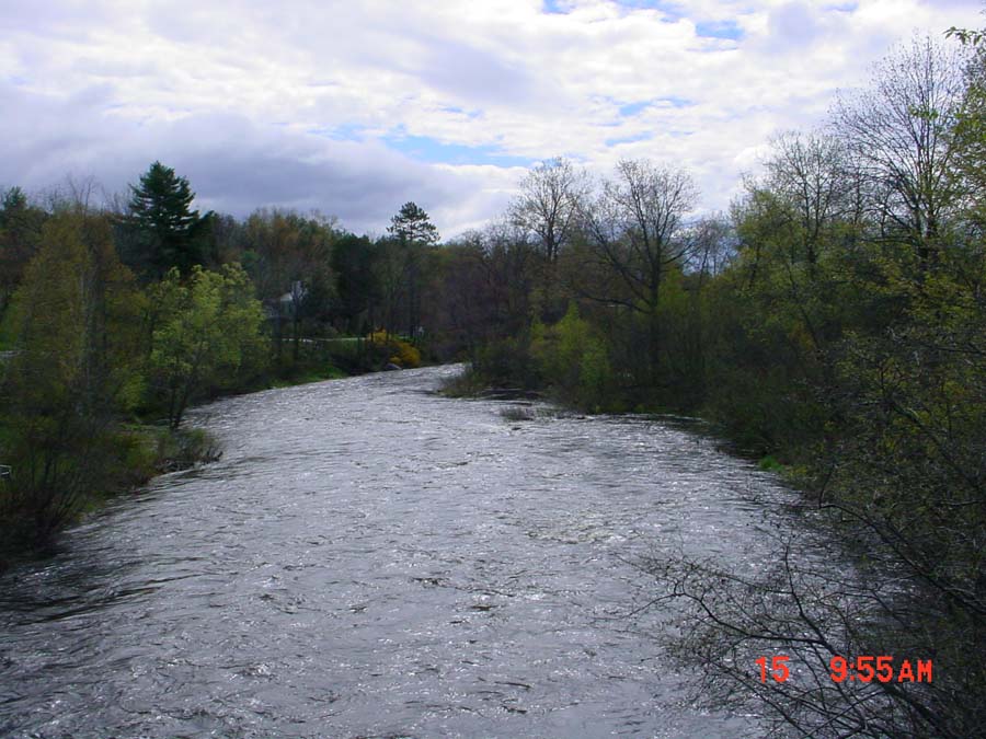
121 KB
This photo was taken from the bridge in the village of Head Tide looking down stream. Photo by M. Laser May 2002.
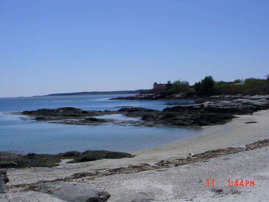
82 KB
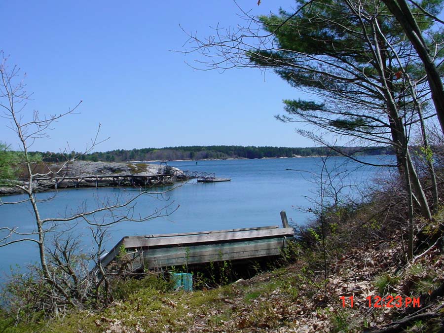
This is a photo of Hendricks Light which is located at the southern tip of the watershed at the southern end of Southport. Photo by M. Laser May 2002.
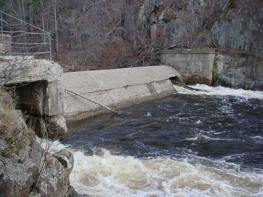
152 KB
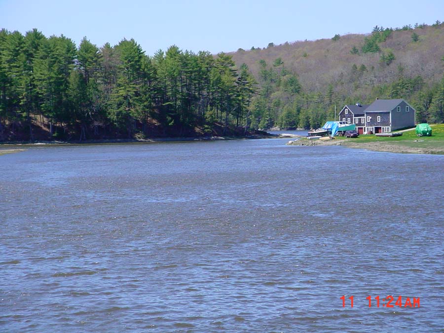
This photo is of the Head Tide Dam in Alna. By 1792 there were five mills in operation at the Head of Tide, three saw mils, a gristmill and a fullingmill. The dam was breached in 1952. Photo by M. Laser May 2002.
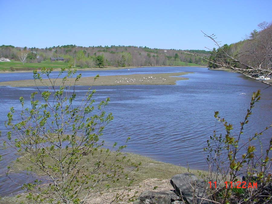
131 KB
This photo was taken from the bridge in Sheepscot Village looking upstream. The Dyer River joins the Sheepscot River at the right of the picture. Photo by M. Laser May 2002.
123 KB
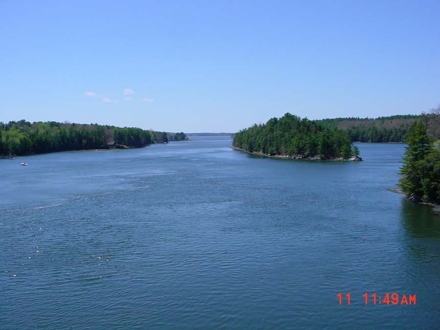
This photo was taken from the bridge in Sheepscot Village looking downstream. Photo by M. Laser May 2002.
71 KB
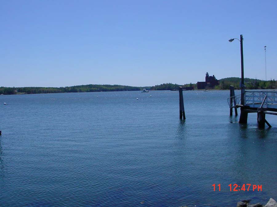
This photo was taken from the public boat landing in Wiscasset looking southeast. Photo by M. Laser May 2002.
72 KB
This photo was taken from the Route 144 Bridge leading to Westport looking out towards the Atlantic Ocean. Photo by M. Laser May 2002.
153 KB
This photo was taken from the east side of Westport Island looking east towards Boothbay Harbor. Photo by M. Laser May 2002.
 82 KB
82 KB
 152 KB
 131 KB
 123 KB
 71 KB
71 KB
 72 KB
72 KB
 153 KB