Photo Pages. Photos on this page are from sub-basin Dyer River
and series Historical Topo Maps- Dyer River.
Click on any thumbnail to see a larger photo.
For detailed information on these photos click here.
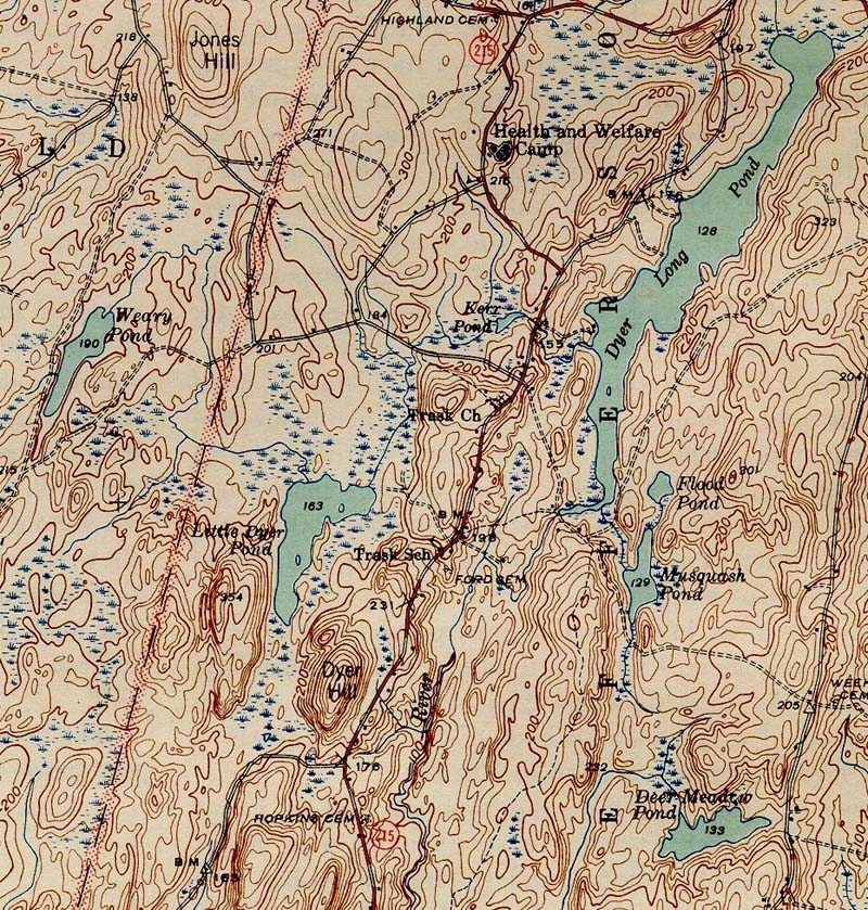
332 KB
1944 topographic map of the Dyer River. From the Wiscasset NE 1944 quad downloaded from http://docs.unh.edu/nhtopos/nhtopos.htm.
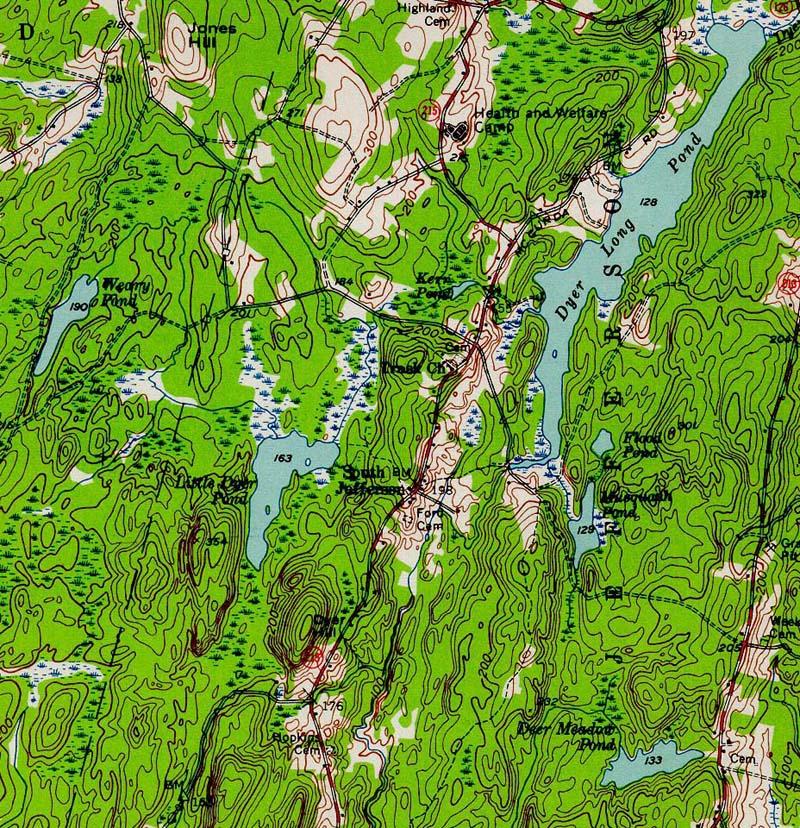
334 KB
1957 topographic map of the Dyer River. From the Wiscasset NE 1957 quad downloaded from http://docs.unh.edu/nhtopos/nhtopos.htm.
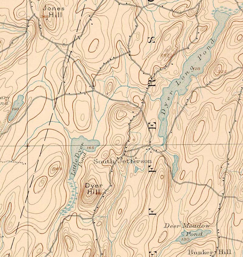
218 KB
1893 topographic map of the Dyer River. From the Wiscasset NE 1893 quad downloaded from http://docs.unh.edu/nhtopos/nhtopos.htm.
 334 KB
 218 KB