Photo Pages. Photos on this page are from sub-basin Mainstem Sheepscot
and series Tour- Chamberlain Brook 2004.
Click on any thumbnail to see a larger photo.
For detailed information on these photos click here.
189 KB
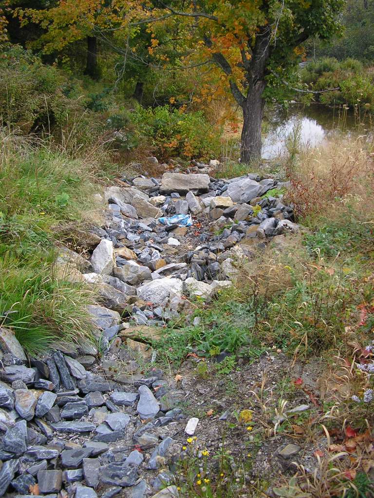
This photograph shows Chamberlain Brook where it crosses under Highway 218, looking downstream. A sediment trap has been constructed to catch road sand. This site is located in the Mainstem Sheepscot sub-basin. Photograph was taken by Eli Asarian on 10/9/2004.
173 KB
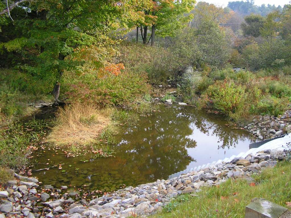
This photograph shows Chamberlain Brook where it crosses under Highway 218, looking upstream. This site is located in the Mainstem Sheepscot sub-basin. Photograph was taken by Eli Asarian on 10/9/2004.
130 KB
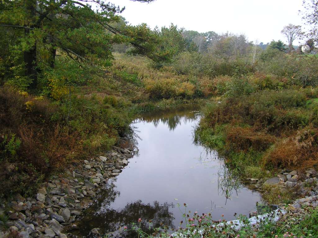
This photograph shows Chamberlain Brook where it crosses under Highway 218, looking upstream. This site is located in the Mainstem Sheepscot sub-basin. Photograph was taken by Eli Asarian on 10/9/2004.
169 KB
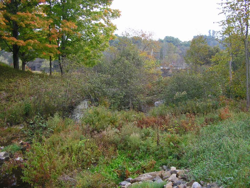
This photograph shows Chamberlain Brook where it crosses under Highway 218, looking upstream. This site is located in the Mainstem Sheepscot sub-basin. Photograph was taken by Eli Asarian on 10/9/2004.
 173 KB
 130 KB
 169 KB