| Area |
Below Head Tide |
| Topic |
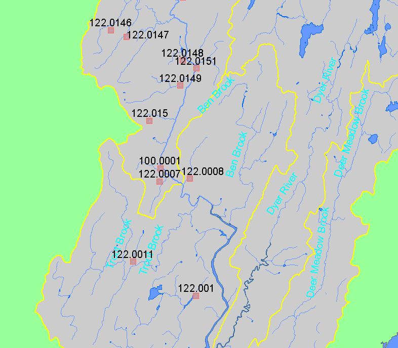
Fish: Electrofishing - Species Captured in Un-named Sheep Trib 1999 |
To view a more detailed version of this map click
here
|
This map shows the location of electrofishing sampling conducted in the upper portion of the Below Head Tide sub-basin, displayed along with 1:24,000
streams and lakes. Sites are labeled by LOCATIONID. Data were collected by Maine Department of Inland Fisheries and Wildlife.
|
|
|
 |
 |
To view metadata about a map layer, click on a link in the table below.
If you obtain KRIS on a CD and install it on your hard drive as a desktop program, you will have access to increased map capabilities such as zooming in/out, turning layers on/off, adding layers and changing legends.