| Area |
Dyer River |
| Topic |
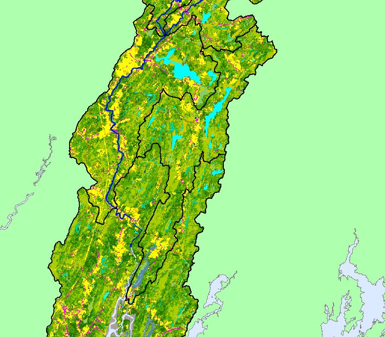
Map: 1C. EPA Landcover/Landuse, Dyer River Sub-basin |
To view a more detailed version of this map click
here
|
This is a map of Landcover/Landuse in the Dyer River sub-basin, based on a 1992 Landsat TM satellite image. Data were provided by the U.S.
Environmental Protection Agency and the U.S. Fish and Wildlife Service's Gulf of Maine Program. Other available layers include Level 6
Subwatersheds, Populated Places, Topographic Map, and streams. Scale = 1:187,796 .
|
|
|
 |
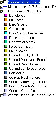 |
To view metadata about a map layer, click on a link in the table below.
If you obtain KRIS on a CD and install it on your hard drive as a desktop program, you will have access to increased map capabilities such as zooming in/out, turning layers on/off, adding layers and changing legends.