|
Area/Topic | Bibliography | Background | Hypotheses | Home |
Photo Database: Meta Information Page
This page contains detailed information from the KRIS Photodatabase table about photos in series Monitoring: Lower Novato Creek Study Reaches 1998. For a list of photo pages sorted by series, click here. For a list of photo pages sorted by sub-basin, click here.
| Agency | Marin County Department of Public Works |
| Basin | East Marin-Sonoma |
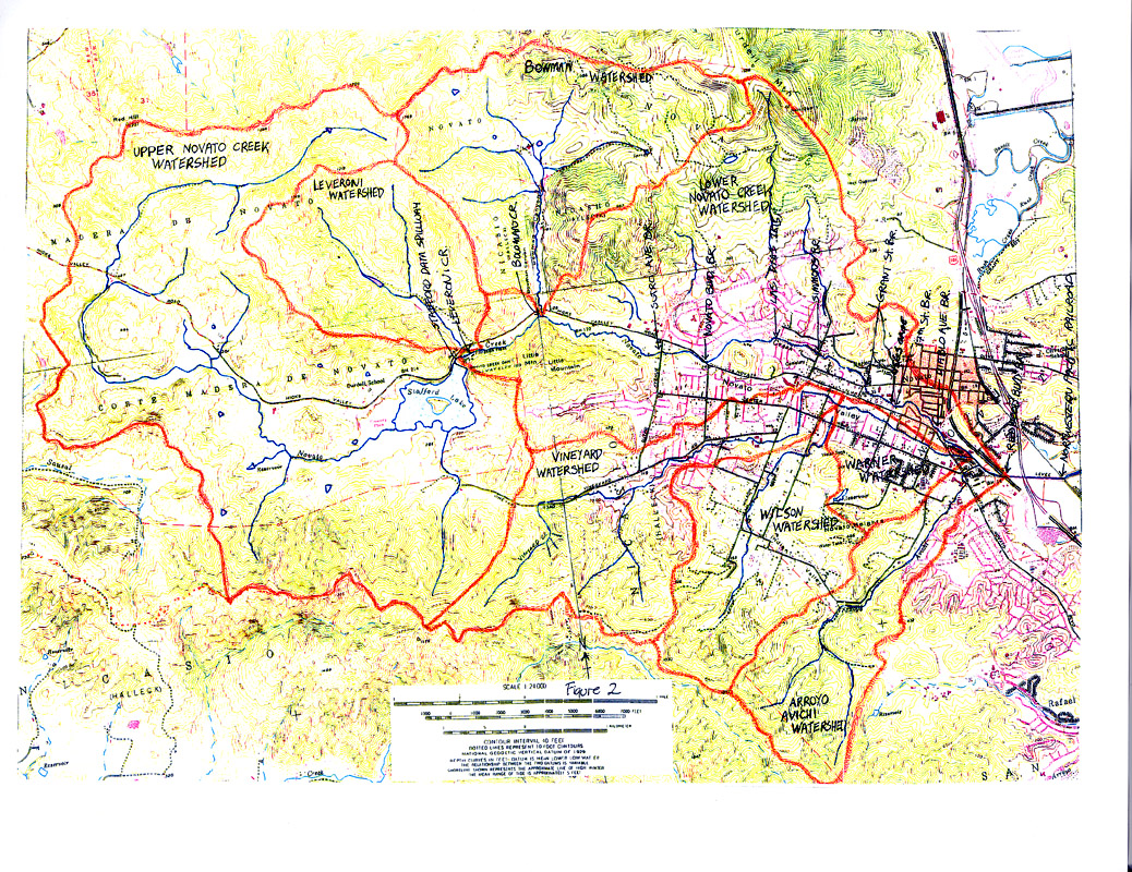
| Caption | This is the map of the study reaches in the Novato Creek watershed found in Collins, 1998. |
| CaptionTemplate | [Description] |
| Category | Monitoring |
| Description | This is the map of the study reaches in the Novato Creek watershed found in Collins, 1998. |
| Filename | collins_novato_map.jpg |
| Filesize | 752522 |
| Meta_Id | Collins_novato |
| Notefile | emarins.htm#collins |
| Path | topics/nm/collins_novato_map.jpg |
| Photo Number | 1 |
| Restriction | None |
| Series | Monitoring: Lower Novato Creek Study Reaches 1998 |
| SubBasin | Novato and Miller Creeks |
| UpdateDate | 8/26/2006 |
| UpdateName | JEA |
| www.krisweb.com |