| Area |
Americano Creek |
| Topic |
Temperature: Bloomfield Fork 1997-2000 |
|
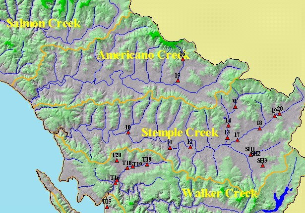
This is a map of California Department of Fish and Game (CDFG) temperature and water quality sampling sites in the KRIS West
Marin-Sonoma Project Area. Displayed in the background are sub-basins, 1:100,000 scale USGS hydrography and a hillshade
digital elevation map. Scale = 1:167,770 .
|
|
|
 |
 |
To view metadata about a map layer, click on a link in the table below.
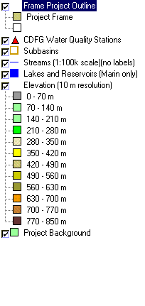
| Name of Layer in Map Legend | Metadata File Name |
|---|
| Frame Project Outline | Unavailable |
| CDFG Water Quality Stations | dfg_stns.shp.txt |
| Subbasins | subbasins.shp.txt |
| Streams (1:100k scale)(no labels) | streams100.shp.txt |
| Lakes and Reservoirs (Marin only) | Unavailable |
| Topo Map, North (1:24k scale) | Unavailable |
| Topo Map, South (1:24k scale) | Unavailable |
| Elevation (10 m resolution) | elev10.tif.txt |
| Pt. Reyes National Seashore Map | Unavailable |
| Project Background | Unavailable |