| Area |
Drakes Bay |
| Topic |
WQ: Dissolved Oxygen Drakes Estero Tributaries 1999-2001 |
|
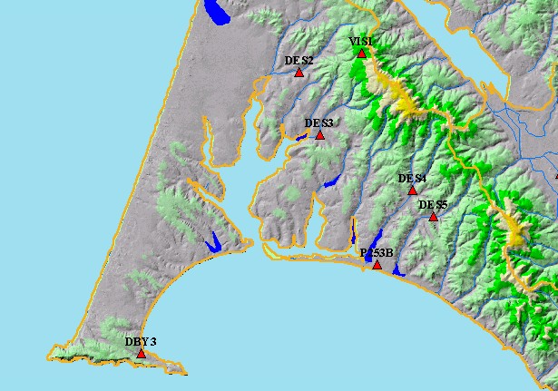
This map shows water quality points in the Point Reyes National Seashore. Displayed in the background are KRIS sub-basins,
1:100,000 scale USGS hydrography and Elevation.
|
|
|
 |
 |
To view metadata about a map layer, click on a link in the table below.
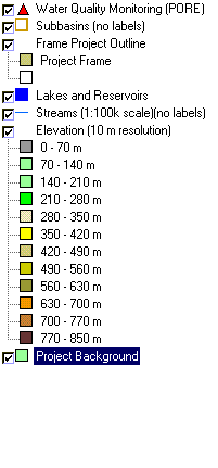
| Name of Layer in Map Legend | Metadata File Name |
|---|
| Water Quality Monitoring (PORE) | wqpoints_wq.shp.txt |
| Subbasins (no labels) | subbasins.shp.txt |
| Frame Project Outline | Unavailable |
| Lakes and Reservoirs | Unavailable |
| Streams (1:100k scale)(no labels) | streams100.shp.txt |
| Topo Map, South (1:24k scale) | Unavailable |
| Elevation (10 m resolution) | elev10.tif.txt |
| Pt. Reyes National Seashore Map | Unavailable |
| Project Background | Unavailable |