| Area |
Lagunitas Creek |
| Topic |
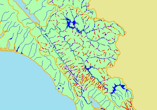
Map: 2A. Stream Gradient, Lagunitas Creek |
|
This is a map of stream gradient in the Lagunitas Creek sub-basin. Lagunitas Creek and Olema Creek include high proportions of
channel length as gradients less than 1% which indicate preferred anadromous fish habitat.
|
|
|
 |
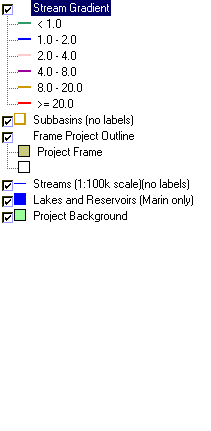 |
To view metadata about a map layer, click on a link in the table below.
| Name of Layer in Map Legend | Metadata File Name |
|---|
| Stream Gradient | streamgrad.shp.txt |
| Subbasins (no labels) | subbasins.shp.txt |
| Frame Project Outline | Unavailable |
| Streams (1:100k scale)(no labels) | streams100.shp.txt |
| Lakes and Reservoirs (Marin only) | Unavailable |
| Topo Map, North (1:24k scale) | Unavailable |
| Topo Map, South (1:24k scale) | Unavailable |
| Elevation (10 m resolution) | elev10.tif.txt |
| Project Background | Unavailable |