
| Area | Stemple Creek |
| Topic | WQ: PH in Stemple Creek 1990-2001 |
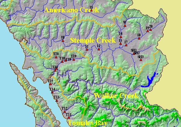
| This is a map of California Department of Fish and Game (CDFG) temperature and water quality sampling sites in the KRIS West Marin-Sonoma Project Area, particularly those in the Stemple Creek watershed. Displayed in the background are KRIS sub-basins, 1:100,000 scale USGS hydrography, Populated Places and the Elevation theme. | |||
 |
 |
||
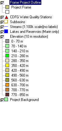
To view metadata about a map layer, click on a link in the table below.
| Name of Layer in Map Legend | Metadata File Name |
|---|---|
| Frame Project Outline | Unavailable |
| CDFG Water Quality Stations | dfg_stns.shp.txt |
| Subbasins | subbasins.shp.txt |
| Streams (1:100k scale)(no labels) | streams100.shp.txt |
| Lakes and Reservoirs (Marin only) | Unavailable |
| Topo Map, North (1:24k scale) | Unavailable |
| Topo Map, South (1:24k scale) | Unavailable |
| Elevation (10 m resolution) | elev10.tif.txt |
| Pt. Reyes National Seashore Map | Unavailable |
| Project Background | Unavailable |
| www.krisweb.com |