| Area |
Stemple Creek |
| Topic |
Tour: Stemple Creek General Watershed Photos |
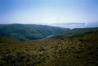
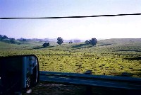 Click on image to enlarge (43K).
This is a picture of the headwaters of the Stemple Creek watershed, which begins northwest of Petaluma. Photo from the Natural Resources Conservation Service.
 Click on image to enlarge (42K).
Here is Stemple Creek further downstream. Photo from the Natural Resources Conservation Service.
 Click on image to enlarge (70K).
This is another picture of Stemple Creek further downstream. Photo from the Natural Resources Conservation Service.
 Click on image to enlarge (56K).
This is a picture in the lower Stemple Creek watershed where the creek becomes Estero de San Antonio. Photo from the Natural Resources Conservation Service.
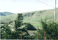
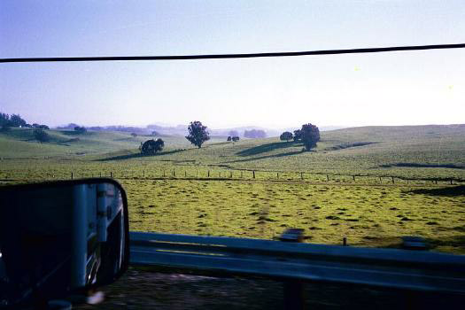
 Click on image to enlarge (43K).
The Estero de San Antonio drains to the Pacific Ocean. Photo from the Natural Resources Conservation Service.
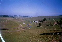
 Click on image to enlarge (37K). Click here to display a larger version (181K).
Another picture of Stemple Creek further up the watershed. Photo from the Natural Resources Conservation Service.
 Click on image to enlarge (54K).
This picture shows cattle grazing near Stemple Creek. Note the riparian fencing. Photo from the Natural Resources Conservation Service.
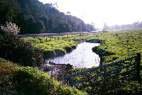
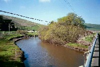 Click on image to enlarge (57K).
Here is a picture of Stemple Creek with some riparian vegetation. Photo from the Natural Resources Conservation Service.
To learn more about this topic click Info Links
To view additional information (data source, aquisition date etc.) about this page, click Metadata

 Click on image to enlarge (43K).
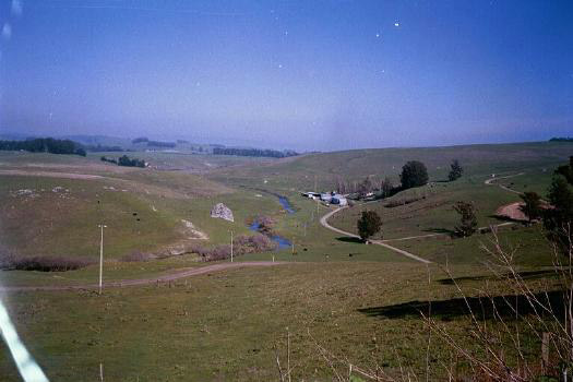 Click on image to enlarge (42K).
 Click on image to enlarge (70K).
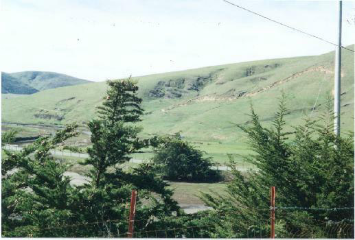 Click on image to enlarge (56K).
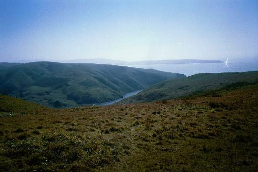 Click on image to enlarge (43K).
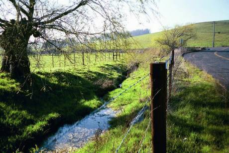 Click on image to enlarge (37K). Click here to display a larger version (181K).
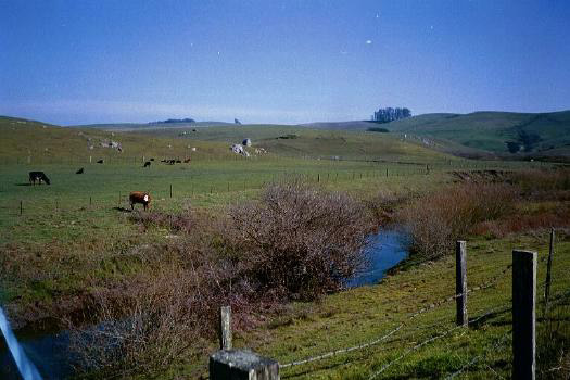 Click on image to enlarge (54K).
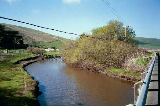 Click on image to enlarge (57K).