
| Area | Middle Big River |
| Topic | Timber Harvest: KRIS Map Image Middle Big River Sub Basin |
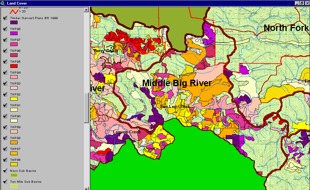
The image above comes from the KRIS Big River Map project and shows timber harvests as mapped by the California Department of Forestry by year from 1986-1999. Much of the Middle Big River sub-basin was logged between 1986 and 1999.
 Click on image to enlarge (186K).
To learn more about this topic click here
| www.krisweb.com |