|
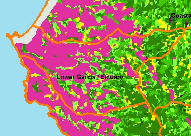
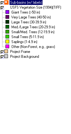
This is a map of 1994 vegetation size data in the Lower Garcia / Estuary sub-basin, overlaid on top of KRIS sub-basins, Calwater
Planning Watersheds and 1:24,000 streams. The tree size classifications were derived from Landsat multi-spectral images taken in
1994. Stand conditions are accurately represented at the one hectare scale. The grasslands and farms of the coastal plain show as
extensive non-forest areas in the west (at left). The coniferous forest starts in the east of the watershed and there are some very
large trees in Allen Gulch, the unlabeled but upper-most tributary of the Garcia in this sub-basin. Riparian restoration in the years
since 1994 has led to an increase in riparian vegetation along the lower mainstem Garcia River, but this is not shown in the 19994
image. Data were provided by the U.S. Forest Service Pacific Southwest Region Remote Sensing Lab, in cooperation with the
California Department of Forestry.
|
|