
|
Area/Topic | Bibliography | Background | Hypotheses | Home |
|
Map Page.
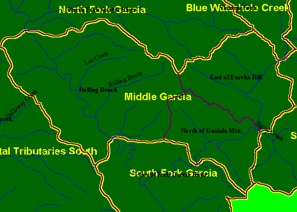
You selected the area Middle Garcia and the topic Map: 1A Calwater Planning Watersheds, Middle Garcia Sub-basin |
| This is a map of the Calwater Planning Watersheds (purple outlines with black labels) and the Middle Garcia KRIS sub-basin (yellow). Rolling Brook, North of Gualala Mountain and East of Eureka Hill are the only Calwater Planning Watersheds in the Middle Garcia sub-basin. Scale = 1:82,686 . | |||
|
|
||
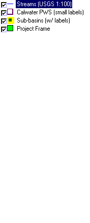
To view metadata about a map layer, click on a link in the table below.
| Name of Layer in Map Legend | Metadata File Name |
|---|---|
| Streams (USGS 1:100) | streams100.shp.txt |
| Calwater PWS (small labels) | calw22.shp.txt |
| Sub-basins (w/ labels) | subbasins.shp.txt |
| Project Frame | Unavailable |
| www.krisweb.com |