| Area |
North Fork |
| Topic |
Tour: CGS NF Gualala Landscape and Geology Photos 2001 #2 |
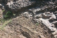
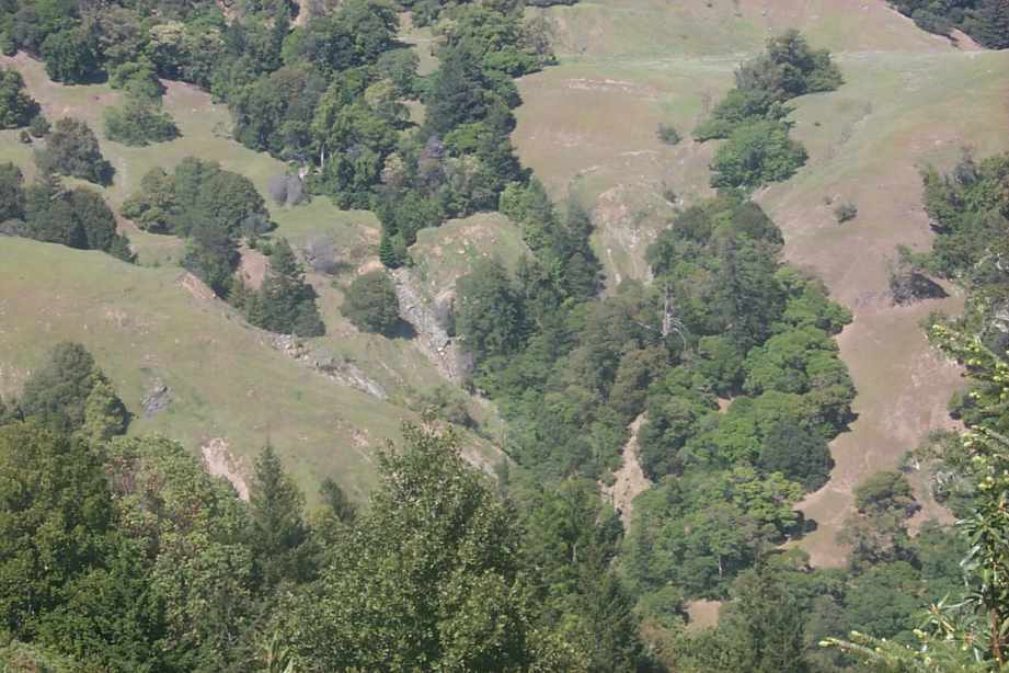
 Click on image to enlarge (72K). Click here to display a larger version (575K).
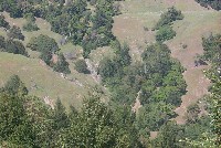
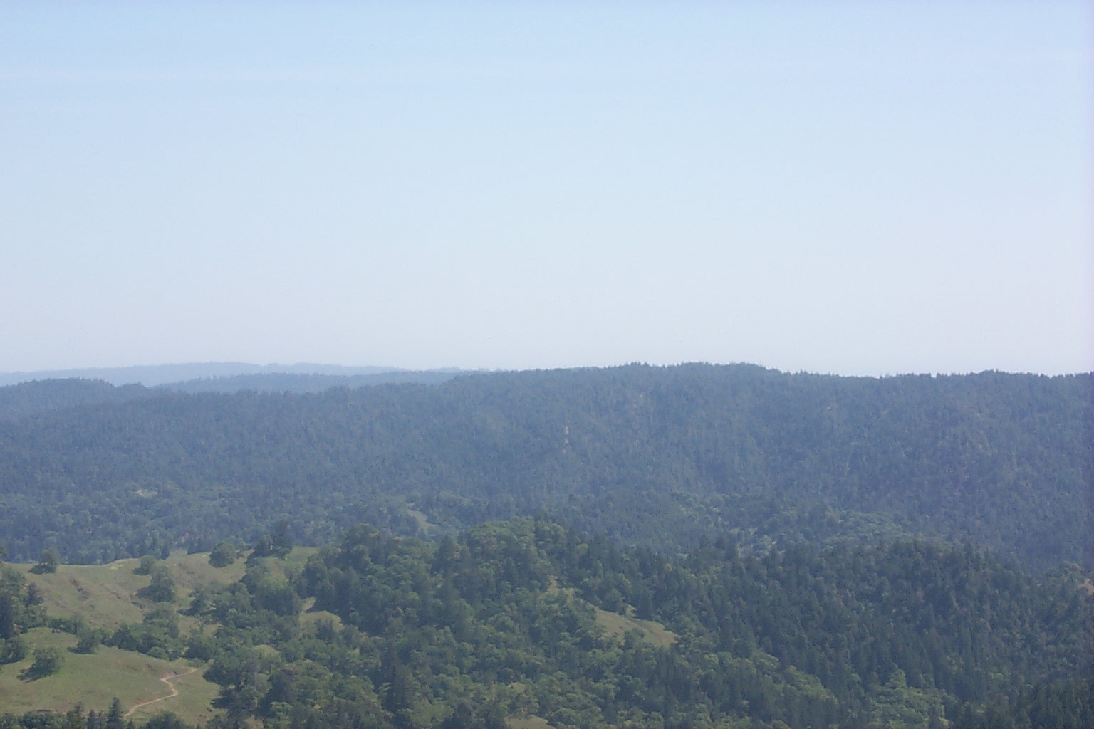
View from GPS 27 toward GPS 24 and 25. Zoom in on gully system. Photo provided courtesy of the California Division of Mines and Geology, North Coast Watershed Assessment Program.
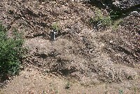
 Click on image to enlarge (7K). Click here to display a larger version (232K).
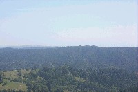
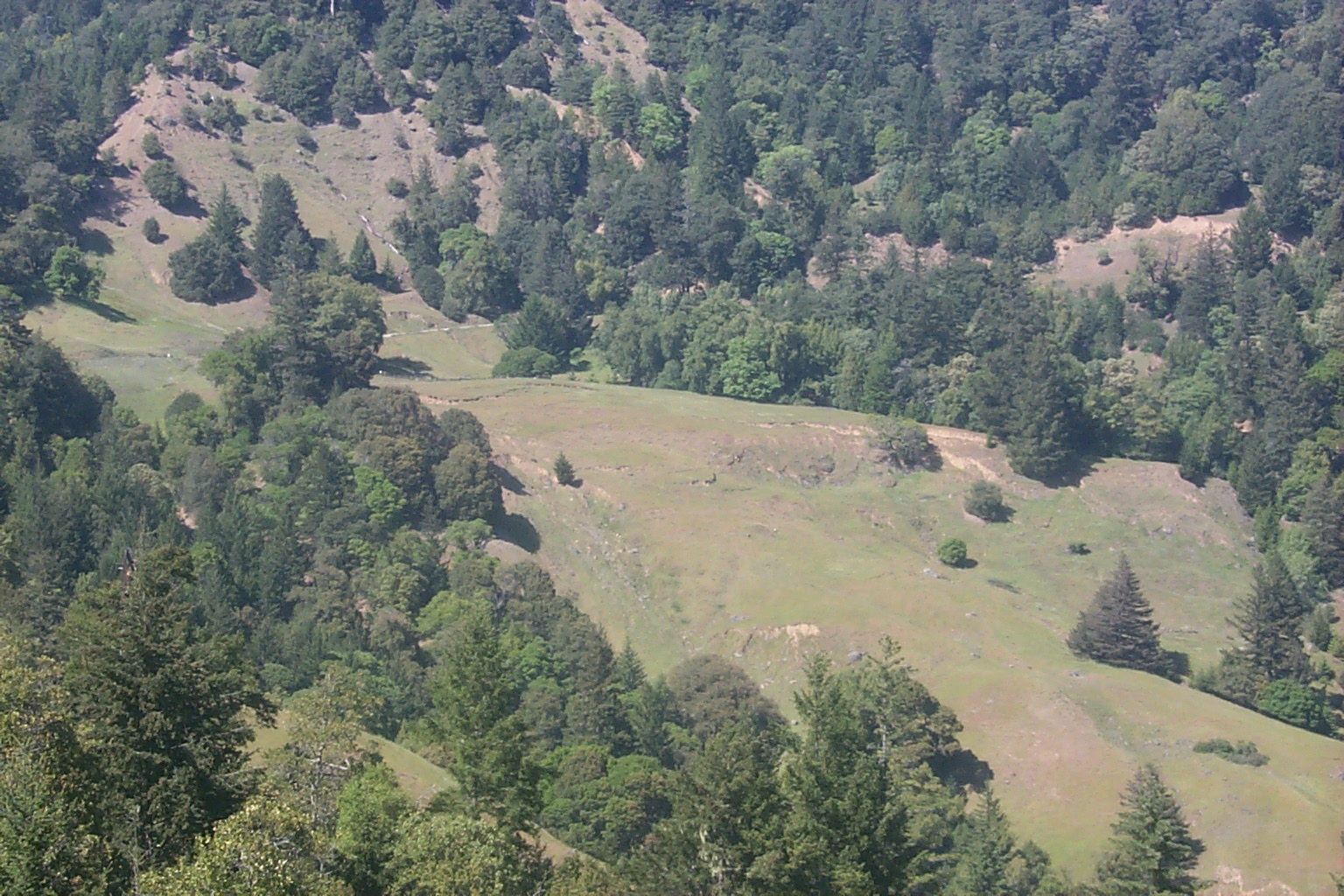
Looking S over Billings Creek from GPS 24. Photo provided courtesy of the California Division of Mines and Geology, North Coast Watershed Assessment Program.
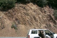
 Click on image to enlarge (72K). Click here to display a larger version (585K).
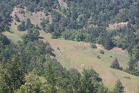
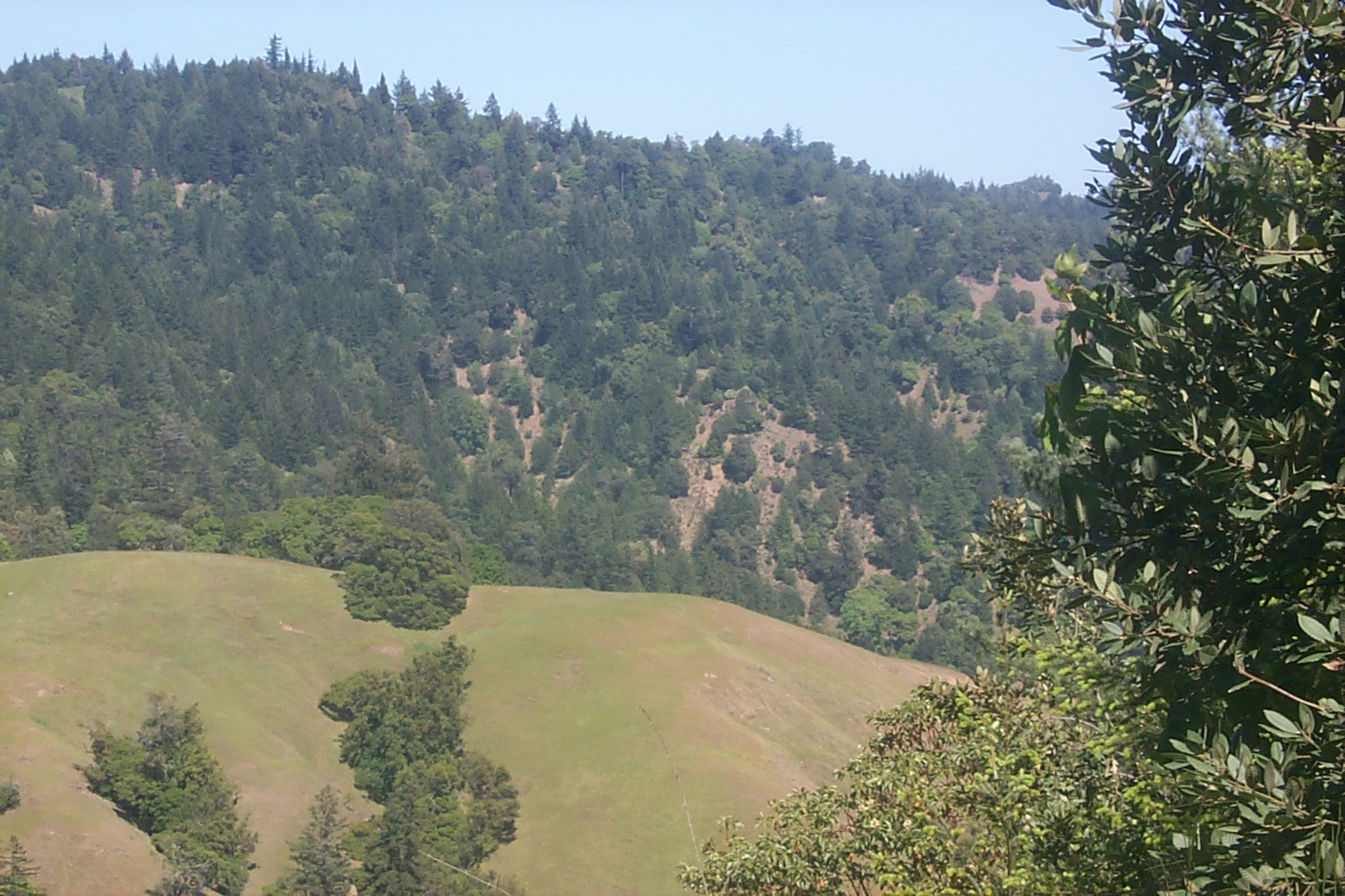
View from GPS 27 toward GPS 24 and 25. Photo provided courtesy of the California Division of Mines and Geology, North Coast Watershed Assessment Program.
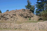
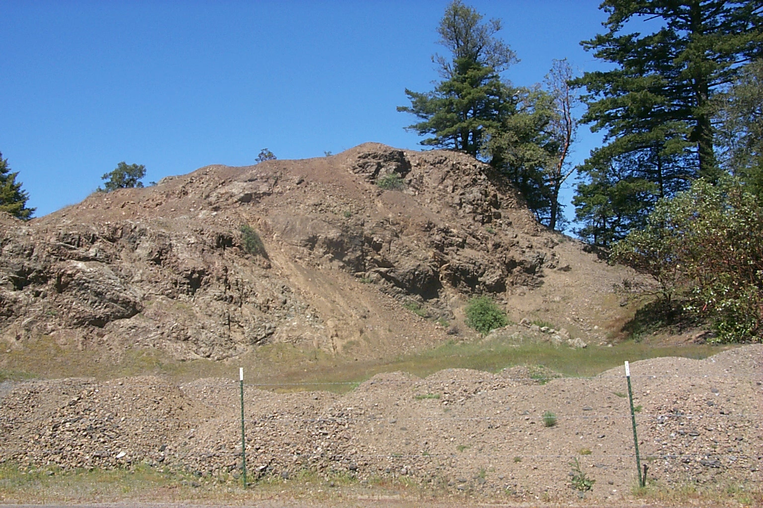
 Click on image to enlarge (18K). Click here to display a larger version (511K).
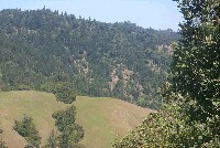
View from GPS 26 looking N toward GPS 24 and 25. Photo provided courtesy of the California Division of Mines and Geology, North Coast Watershed Assessment Program.
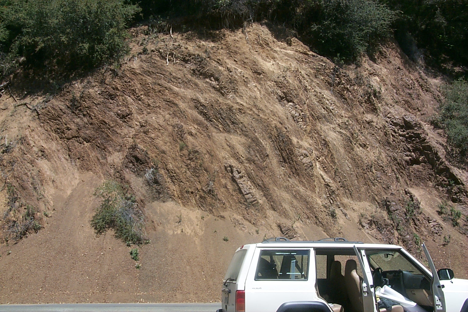
 Click on image to enlarge (118K). Click here to display a larger version (675K).
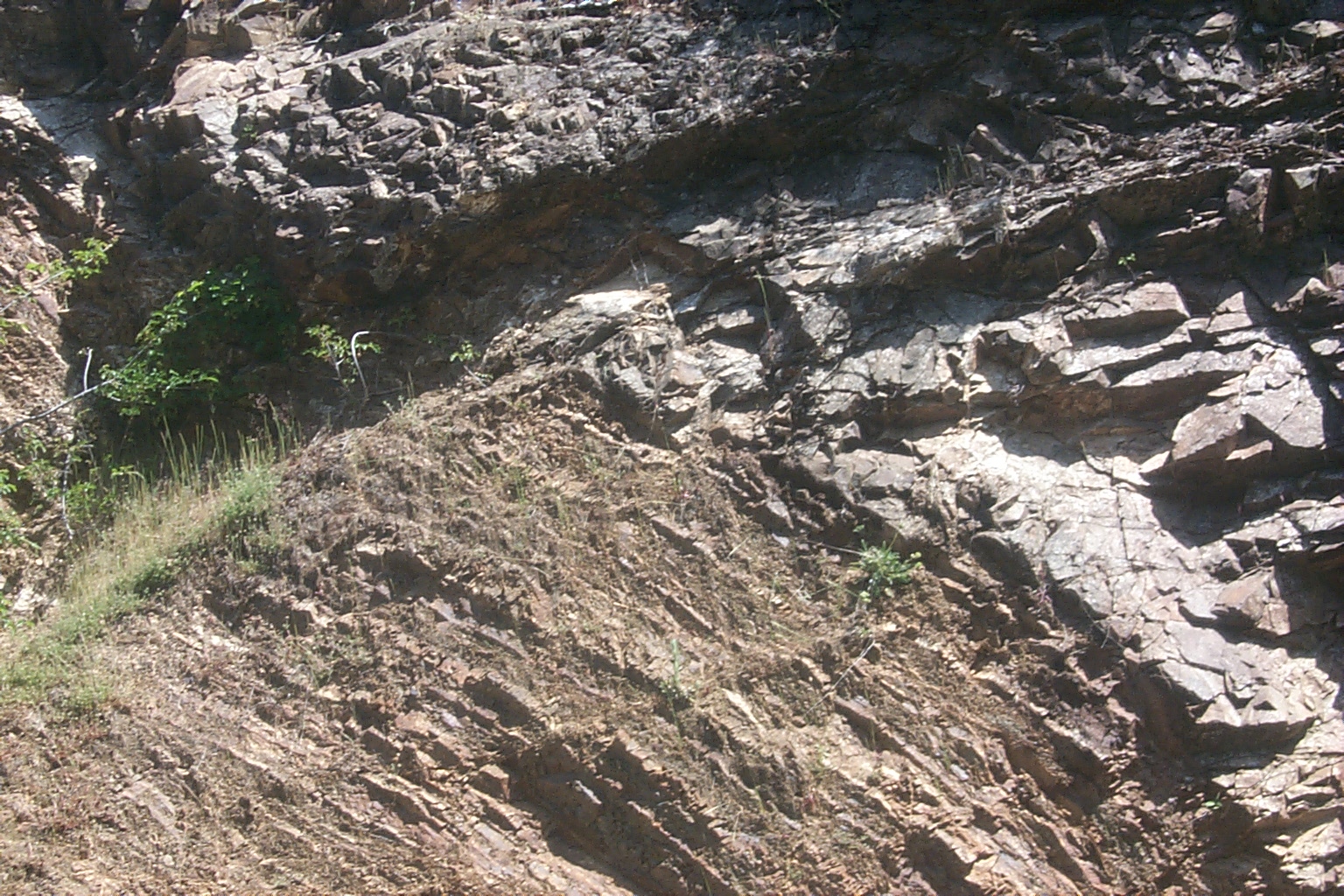
Folded and faulted beds of Franciscan -trend N10E dip SW. Photo provided courtesy of the California Division of Mines and Geology, North Coast Watershed Assessment Program.
 Click on image to enlarge (82K). Click here to display a larger version (667K).
Along strike view of deformed Franciscan dip SW. Photo provided courtesy of the California Division of Mines and Geology, North Coast Watershed Assessment Program.
 Click on image to enlarge (122K). Click here to display a larger version (851K).
Folded and faulted beds of Franciscan -trend N10E dip SW. Photo provided courtesy of the California Division of Mines and Geology, North Coast Watershed Assessment Program.
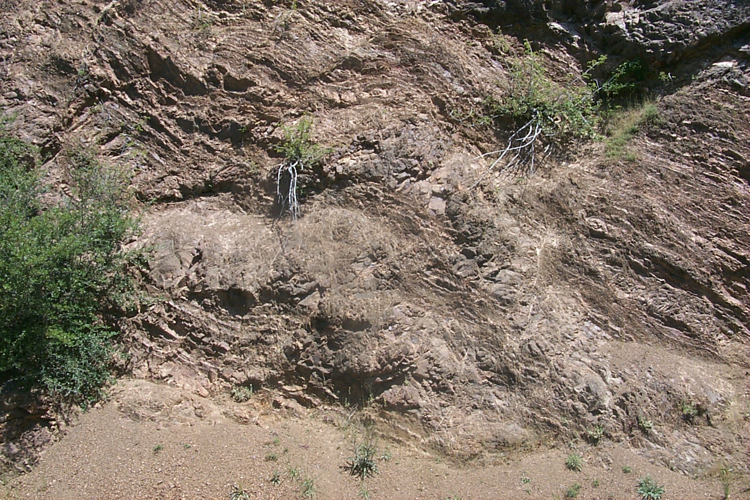
 Click on image to enlarge (82K). Click here to display a larger version (659K).
N trending E dipping stacked faults at GPS 23 looking N. Photo provided courtesy of the California Division of Mines and Geology, North Coast Watershed Assessment Program.

 Click on image to enlarge (72K). Click here to display a larger version (575K).
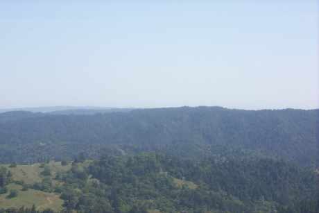 Click on image to enlarge (7K). Click here to display a larger version (232K).
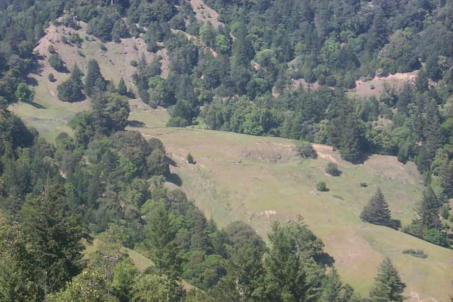 Click on image to enlarge (72K). Click here to display a larger version (585K).
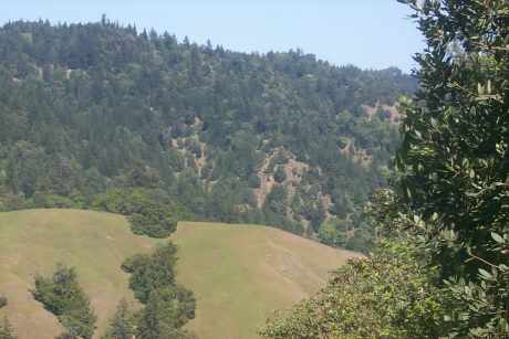 Click on image to enlarge (18K). Click here to display a larger version (511K).
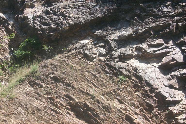 Click on image to enlarge (118K). Click here to display a larger version (675K).
 Click on image to enlarge (82K). Click here to display a larger version (667K).
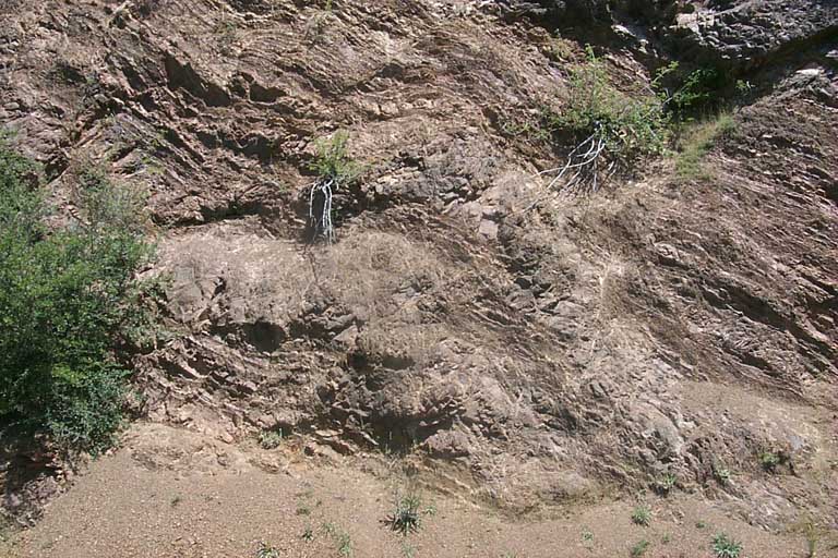 Click on image to enlarge (122K). Click here to display a larger version (851K).
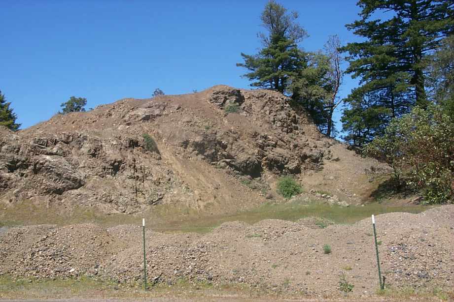 Click on image to enlarge (82K). Click here to display a larger version (659K).
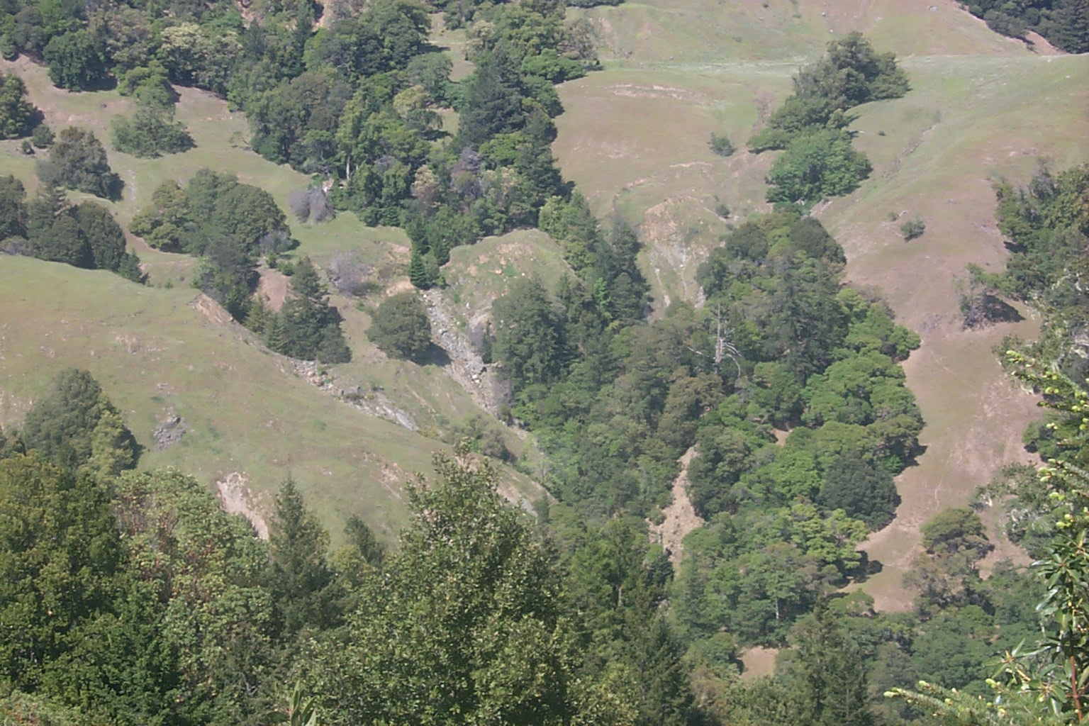