| Area |
Wheatfield |
| Topic |
Tour: Fuller Creek Photos #2 |
 Click on image to enlarge (161K). Click here to display a larger version (195K).
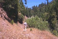
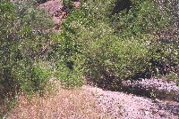
Doug Simmonds of the Gualala River Watershed Council along an old, abandoned logging road adjacent to the South Fork Fuller Creek. Willows to the right in the photo are the current riparian and the creek is just down and out of view to the right. Lack of large conifers in the riparian leaves this reach open to warm airflow over the stream, which facilitates warming of the stream. Photo courtesy of Pat Higgins.
 Click on image to enlarge (169K). Click here to display a larger version (206K).
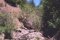
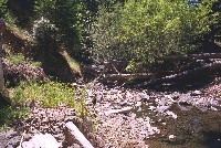
South Fork Fuller Creek with sparse riparian canopy of willow, alder and maple. Angular material of the bed suggests that bed is sorted from debris torrents associated with logging over the last five decades. Old logging road grade is at upper left in the photo. Photo courtesy of Pat Higgins.
 Click on image to enlarge (78K). Click here to display a larger version (218K).
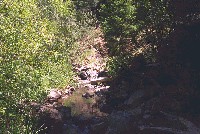
Pool in South Fork Fuller Creek formed by bedrock and large wood, which also provide cover for fish. This pool is suitable for juvenile steelhead rearing but water temperatures are too elevated for coho. Photo courtesy of Pat Higgins. 1996.
 Click on image to enlarge (154K). Click here to display a larger version (195K).
Shaded reach of South Fork Fuller Creek with overhanging willow with small conifers also in the riparian. Photo courtesy of Pat Higgins. 1996.
 Click on image to enlarge (80K). Click here to display a larger version (216K).
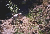
Doug Simmonds loads automated temperature probe into case for placement in South Fork Fuller Creek. Gravel patch below Doug would be suitable substrate for winter steelhead spawning during higher flow periods. Photos courtesy of Pat Higgins. 1996.
 Click on image to enlarge (77K). Click here to display a larger version (218K).
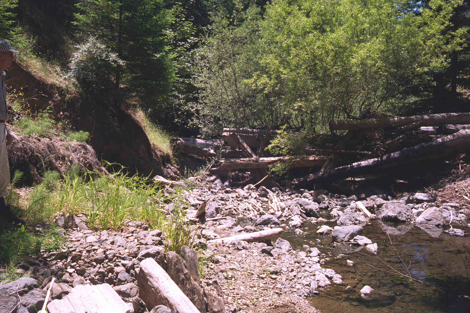
Large woody debris adds complexity to the South Fork Fuller Creek channel downstream of site where Hobotemp was placed in 1996. Photos courtesy of Pat Higgins.
 Click on image to enlarge (77K). Click here to display a larger version (219K).
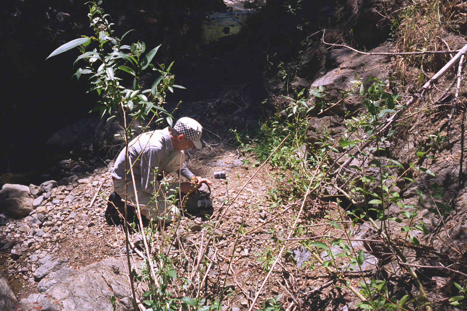
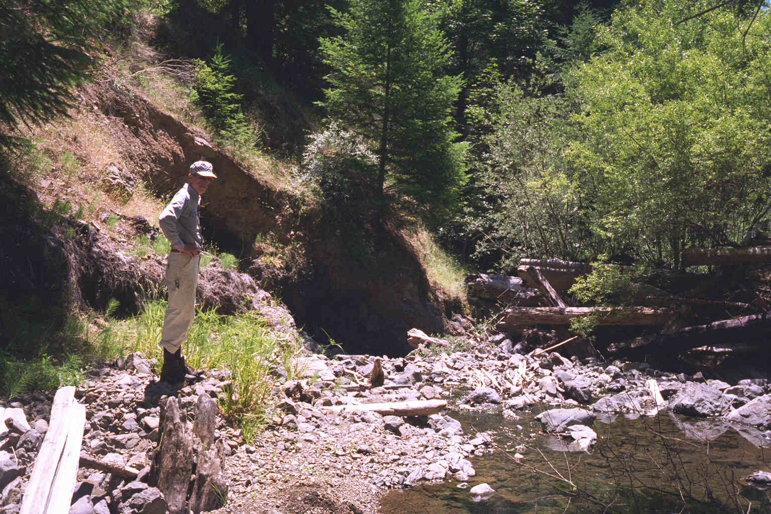
Doug Simmonds observes South Fork Fuller Creek channel near location of Hobotemp in 1996. Note old tree stump buried by past torrents sticking up directly in front of Doug in the photo. Photo provided by Pat Higgins.
 Click on image to enlarge (86K). Click here to display a larger version (259K).
Young conifers in the riparian zone of South Fork Fuller Creek will provide a cooler microclimate when they mature in 50-75 years. Their ability to provide lasting large wood materials for channel complexity will improve until trees are over 100 years. Photo courtesy of Pat Higgins. 1996.

 Click on image to enlarge (161K). Click here to display a larger version (195K).
 Click on image to enlarge (169K). Click here to display a larger version (206K).
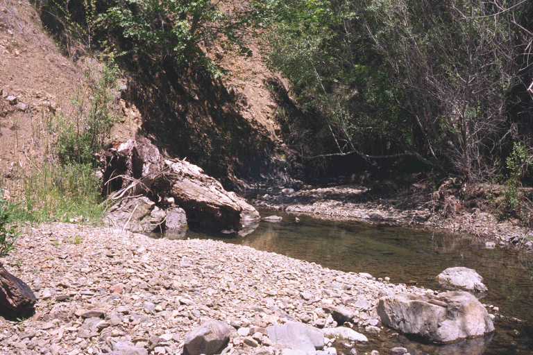 Click on image to enlarge (78K). Click here to display a larger version (218K).
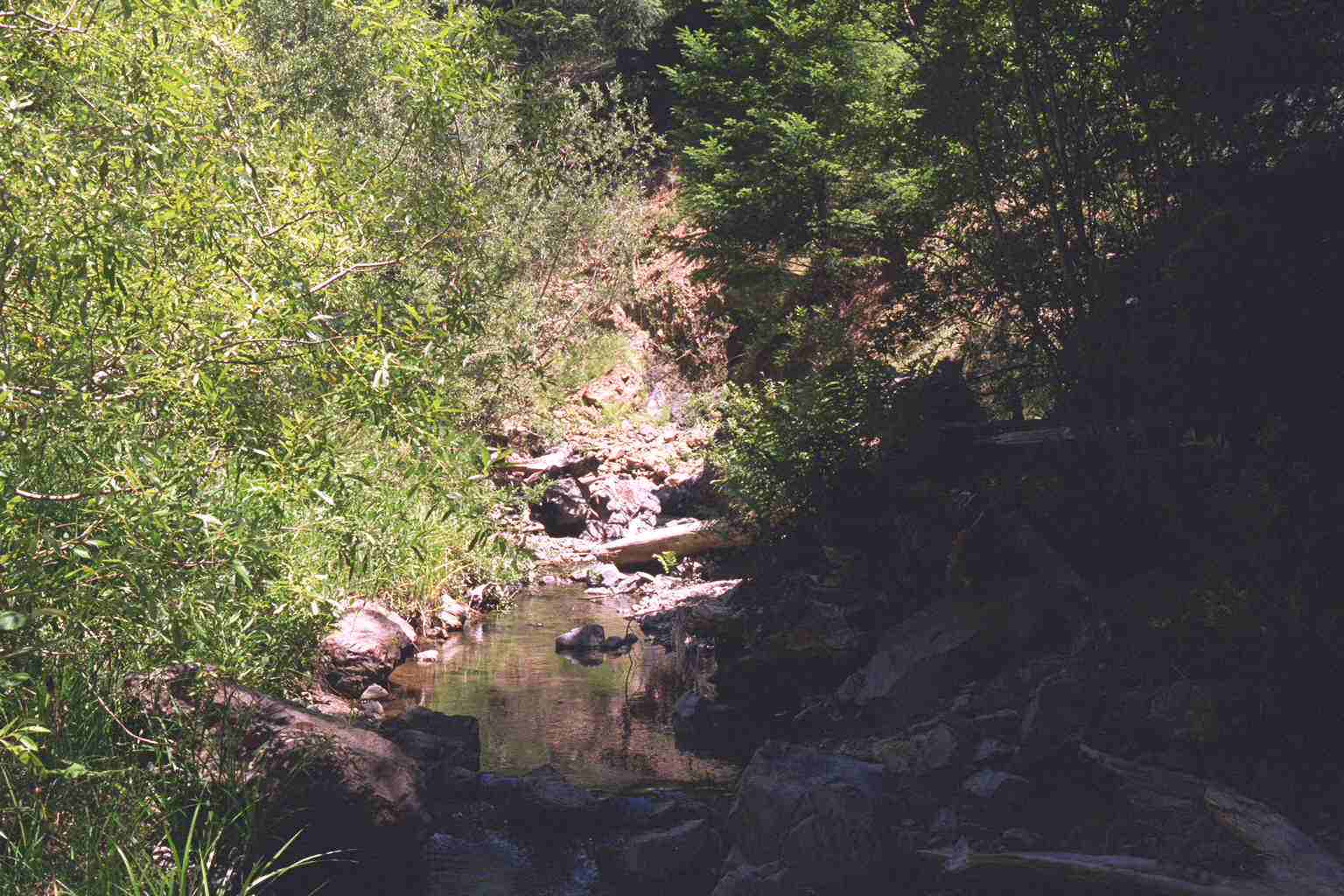 Click on image to enlarge (154K). Click here to display a larger version (195K).
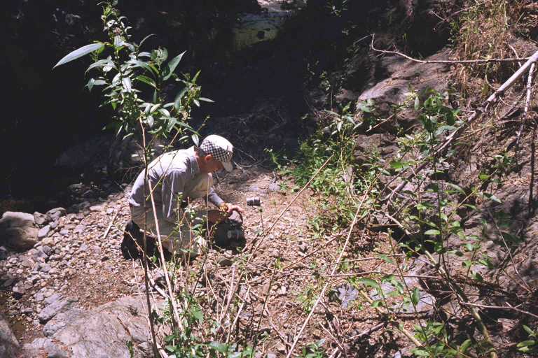 Click on image to enlarge (80K). Click here to display a larger version (216K).
 Click on image to enlarge (77K). Click here to display a larger version (218K).
 Click on image to enlarge (77K). Click here to display a larger version (219K).
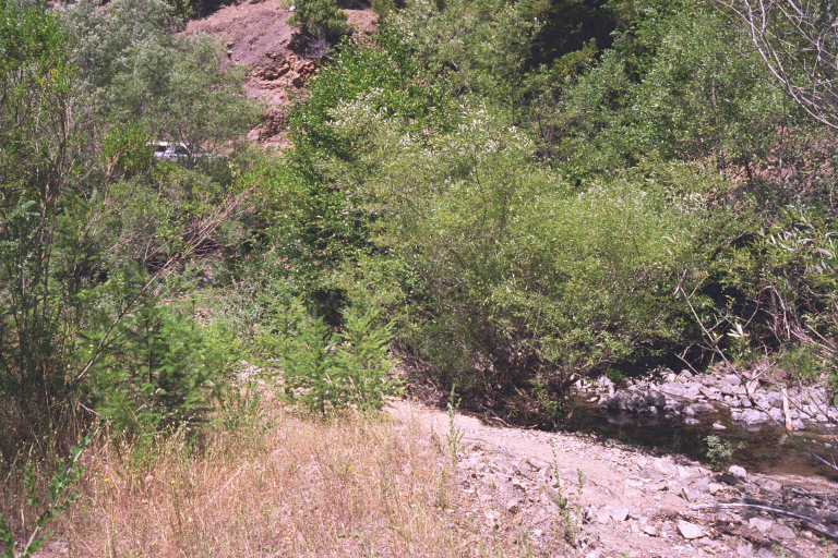 Click on image to enlarge (86K). Click here to display a larger version (259K).