
| Area | Middle Klamath |
| Topic | Tour: Aerial Photos Indian Creek Post 1997 Flood |
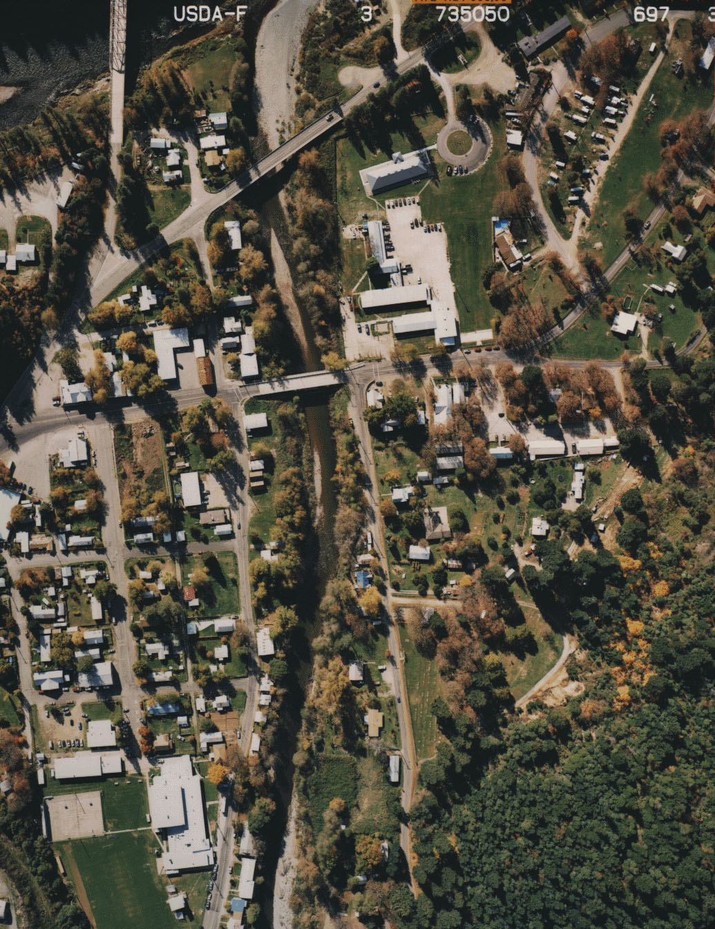
Lower Indian Creek is shown in the aerial photo above taken by the U.S. Forest Service in October 1997. The Highway 96 bridge shows at the top of the photo. Indian Creek runs through the center of the photo from bottom to top, flanked by the town of Happy Camp. Aggradation in lower Indian Creek during the January 1997 storm was not sufficient to cause channel widening. Photo taken as part of flood damage assessment. Use Pan function or click Fit to see whole image. Press F1 for help in use of Picture tools.
Lower Indian Creek is shown in the aerial photo above taken by the U.S. Forest Service in October 1997. This area is just upstream of the town of Happy Camp. Riparian vegetation appears intact and no stream widening is in evidence. Photo taken as part of flood damage assessment.
 Click on image to enlarge (398K).
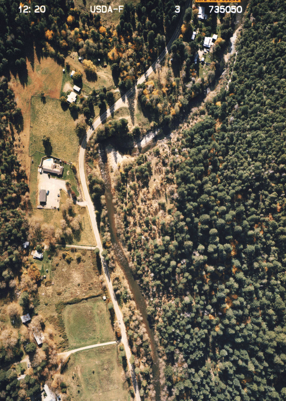 Click on image to enlarge (508K).
To learn more about this topic click Info Links
To view additional information (data source, aquisition date etc.) about this page, click Metadata
| www.krisweb.com |