| Area | Salmon River |
| Topic | Map: Salmon River Base Map |
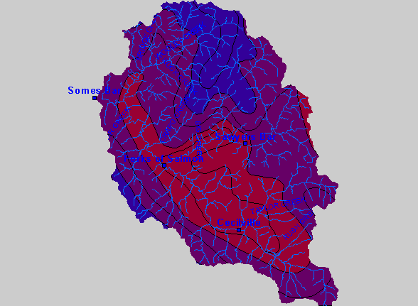
| This is a base map of the Salmon River Project Area. The Salmon River is located in very northern California. The 480,640 acre Basin is home to approximately 250 year round residents. The 751 square mile Salmon River Basin is 98.7% publicly owned with federal management by the United States Forest Service. | |||
 |
 |
||
To view metadata about a map layer, click on a link in the table below.
| Name of Layer in Map Legend | Metadata File Name |
|---|---|
| Towns | towns.shp.txt |
| Basin Buffer | buffer_basinboundary.shp.txt |
| Streams (1:100k scale)(w/ labels) | rivers.shp.txt |
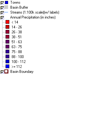
| Annual Precipitation (in inches) | precip.shp.txt |
| Elevation (in Meters) | sr_elevation.tif.txt |
| Hillshade.tif | srhillshade.tif.txt |
| Basin Boundary | basin_bnd.shp.txt |
| www.krisweb.com |
