
| Area | Salmon River |
| Topic | Map: Salmon River Noxious Weeds |
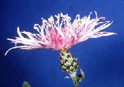
This is the Spotted Knapweed (Centaurea maculosa) Flower. Since 1997, a total of 185 knapweed sites have been located, mapped and inventoried. In 2001-02 the SRRC has been developing GIS/GPS map layers for specific noxious weed species. High risk areas such as trailheads, tanker fill areas, river access, rock sources, and sensitive areas will be given extra attention.
Since 1998 the SRRC has prevented more than 99.9 % of the knapweed plants from seeding. According to the SRRC Inventory there has been 60% reduction of all knapweed plants at all sites annually since 1999.
This is a Diffuse Knapweed (Centaurea diffusa Lam.) in bloom.
This is a Meadow Knapweed in bloom.
This is Yellow Star thistle (Centaurea solstitialis) in bloom.
This is Scotch Broom (Cytisus scoparius) in bloom.
This is Marlahan Mustard, also known as Dyer's Woad (Isatis tinctoria L.) in bloom.
This is White Top in bloom.
 Click on image to enlarge (78K).
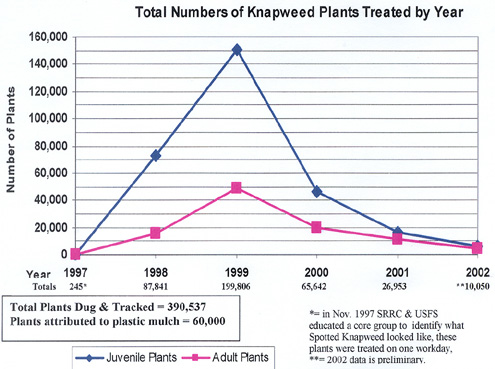 Click on image to enlarge (90K).
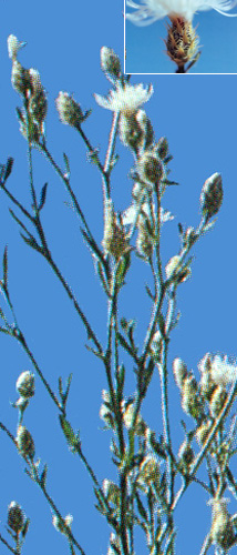 Click on image to enlarge (94K).
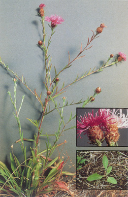 Click on image to enlarge (80K).
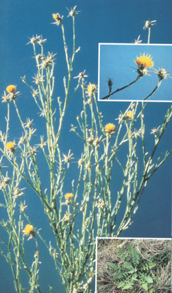 Click on image to enlarge (93K).
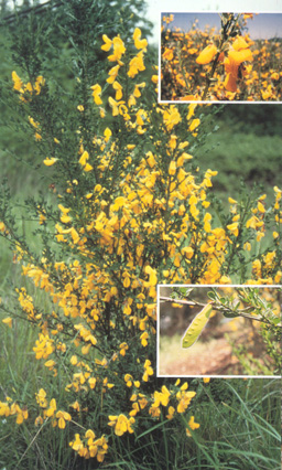 Click on image to enlarge (115K).
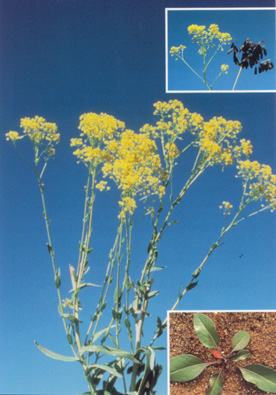 Click on image to enlarge (80K).
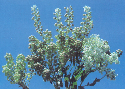 Click on image to enlarge (98K).
To learn more about this topic click Info Links
To view additional information (data source, aquisition date etc.) about this page, click Metadata
| www.krisweb.com |