| Area | Shasta |
| Topic | Tour: Shasta Historical Photos #2 |
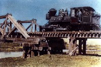
This colorized photo of a steam train crossing the Shasta River near Montague early in the 1900's shows that extensive cattle grazing had already taken place in the riparian zone and that few trees existed at that time to shade the river.
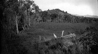
Riparian zone of the Shasta River just downstream of where Montague Grenada Road runs today. The photo was probably taken in the 1930's. Note the old fence which protected riparian trees.
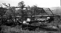
Looking southeast across the Montague Grenada Road bridge over the Shasta River. The photo was probably taken around 1930. It shows that some large riparian trees existed in the reach at that time. Gregory Mountain is visible in the background.
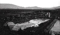
Montague Grenada Road Bridge across the Shasta River indicating a much wider stream channel than is currently found at this location. This photo was probably taken around 1930 not long after Dwinell Reservoir was constructed. Restricted flows from the dam after 1928 probably caused the river channel to narrow.
Dwinell Dam was built because water shortages in the Shasta River basin were severely limiting homesteading opportunities and homesteader's economic survival. It has provided the water distributed by the Montague Irrigation District since it was completed in 1928.
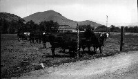
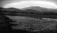
This pastoral scene of the Meamber Ranch upstream of the Montague-Grenada Road Bridge probably taken about 1900. It shows a continuous riparian corridor along the Shasta River, which runs through the center of the photo.
 Click on image to enlarge (75K).
 Click on image to enlarge (40K).
 Click on image to enlarge (43K).
 Click on image to enlarge (52K).
 Click on image to enlarge (55K).
 Click on image to enlarge (28K).
To learn more about this topic click Info Links
To view additional information (data source, aquisition date etc.) about this page, click Metadata
| www.krisweb.com |
