| Area | Shasta |
| Topic | Tour: 1997 High Water #1 (Big Springs to Montague-Grenada Rd.) |
Photo of the Shasta River downstream of the railroad bridge looking toward Montague/Grenada Road during high water on January 1, 1997.
Parks Creek during high water during January 1, 1997. Because of the poor riparian conditions in this reach, major bank erosion resulted from this storm.
Photograph of the Shasta River from the Louie Road Bridge during high flows on January 1, 1997. Flood flows at this location are moderated because of Dwinell Dam just upstream.
Shasta River looking upstream from Louie Road Bridge during high water on January 1, 1997. Note that the fence at right is submerged but still intact.
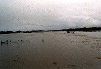
This photograph of the Shasta River was taken from the A-12 County Road Bridge looking upstream. The wide Shasta Valley floor allows the river to spread out during floods and decreases the erosive force of the river. Fences perpendicular to the river such as the one at left are more likely to sustain damage than those which are parallel.
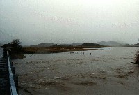
Photograph of the Shasta River at flood on January 1, 1997 looking downstream off the A-12 Bridge.
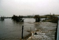
This photo of the Shasta River was taken from the Montague/Grenada Road Bridge looking upstream during the January 1, 1997 high water event. The white box at the lower center of the photo is the Shasta CRMP flow and water quality gauge. The narrowing of the flood plain at the bridge increases the erosive force of the river at this point.
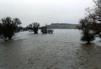 Click on image to enlarge (47K).
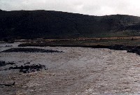 Click on image to enlarge (57K).
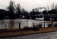 Click on image to enlarge (67K).
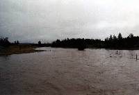 Click on image to enlarge (35K).
 Click on image to enlarge (33K).
 Click on image to enlarge (36K).
 Click on image to enlarge (45K).
To learn more about this topic click Info Links
To view additional information (data source, aquisition date etc.) about this page, click Metadata
| www.krisweb.com |
