
| Area | Upper Klamath |
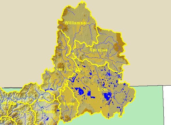
| Topic | Map: 1A. Elevation and Hydrography, Upper Klamath Sub-Basin |
| This map is a Digital Elevation Model (DEM) showing the topography of the landscape in the Upper Klamath sub-basin, displayed with 1:500,000 scale streams, 1:100,000 scale lakes, and sub-basin boundaries. Data were provided by Humboldt State University and Klamath National Forest. | |||
 |
 |
||
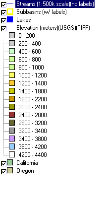
To view metadata about a map layer, click on a link in the table below.
| Name of Layer in Map Legend | Metadata File Name |
|---|---|
| Streams (1:500k scale)(no labels) | Unavailable |
| Subbasins (w/ labels) | tfsubwsd.shp.txt |
| Lakes | kblak100.shp.txt |
| Elevation (meters)(USGS)(TIFF) | Unavailable |
| California | Unavailable |
| Oregon | oregon_bdry.shp.txt |
| www.krisweb.com |