
| Area | Western Mattole |
| Topic | Sediment: V* From the West Fork Honeydew Creek, 1992 & 1993 |
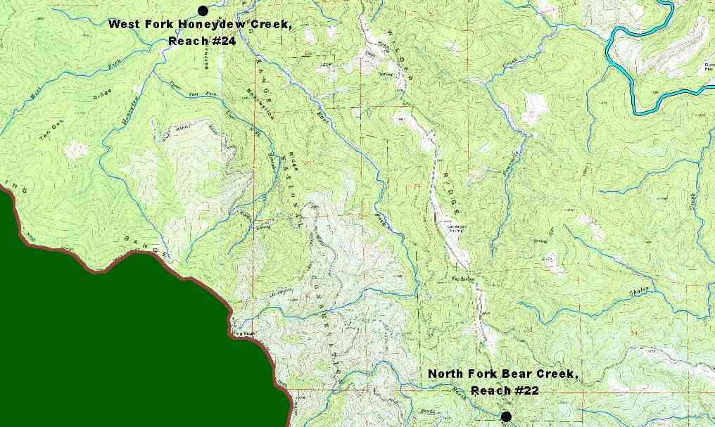
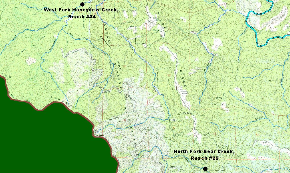
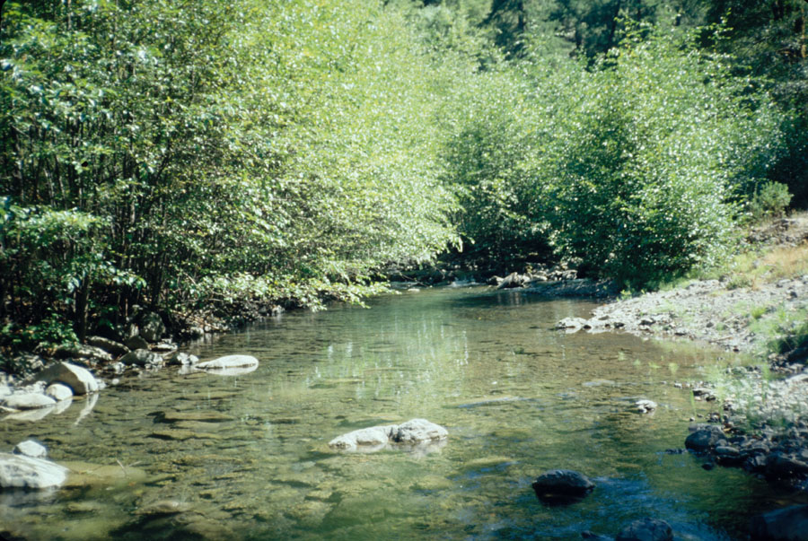
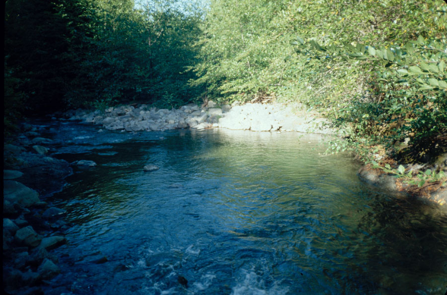
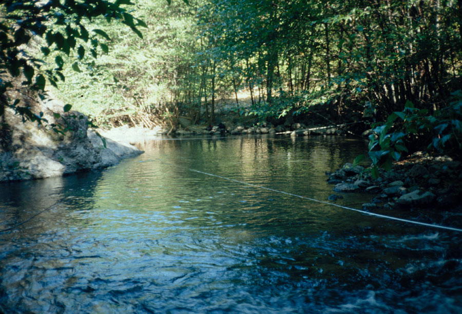
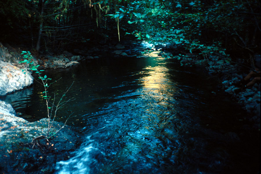
The map above shows the two Knopp study sites in the Western Mattole sub-basin. Knopp (1993) collected data on the amount of fine sediment in pools, pebble counts, large wood and pool frequency statistics for 60 northcoast streams. Each reach is 1000 meters long
 Click on image to enlarge (85K). Click here to display a larger version (245K).
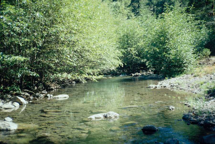 Click on image to enlarge (95K). Click here to display a larger version (224K).
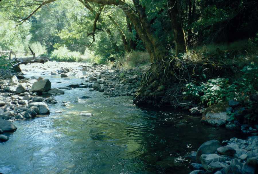 Click on image to enlarge (72K). Click here to display a larger version (169K).
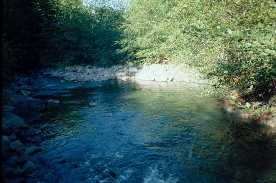 Click on image to enlarge (67K). Click here to display a larger version (169K).
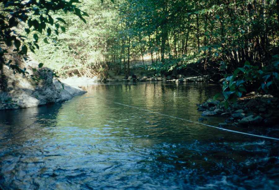 Click on image to enlarge (82K). Click here to display a larger version (196K).
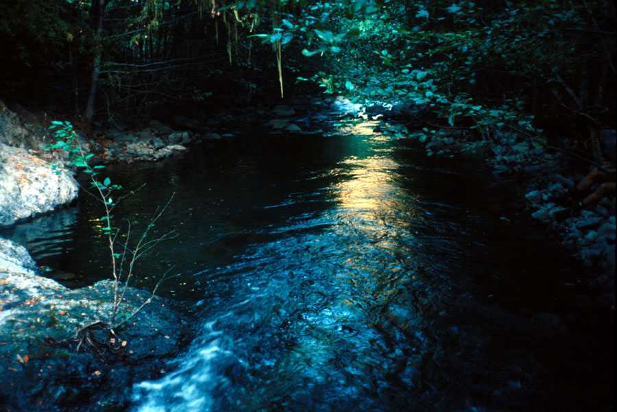 Click on image to enlarge (60K). Click here to display a larger version (164K).
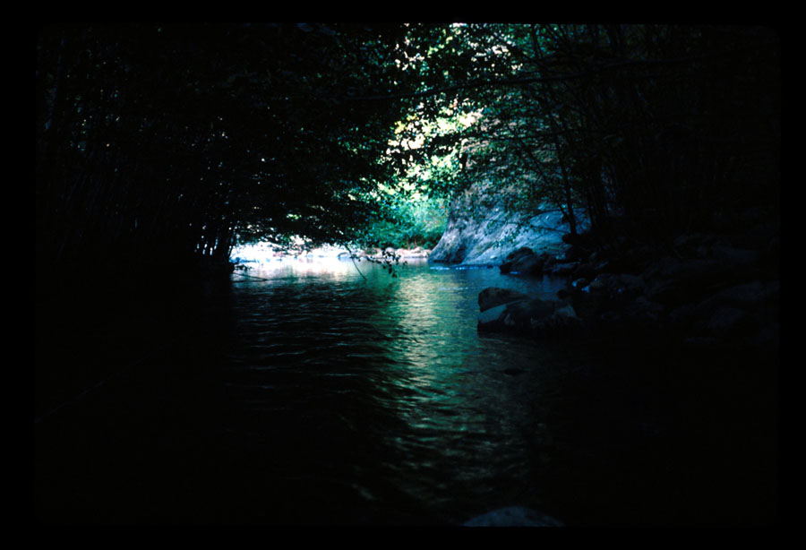 Click on image to enlarge (84K).
To learn more about this topic click Info Links
www.krisweb.com