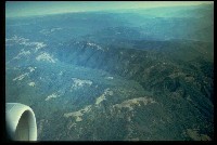
 Click on image to enlarge (78K).
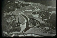
Low elevation oblique air photo of Redwood Creek Estuary, possibly taken following the 1997 flood. Click on the "zoom" and "pan" buttons above to use your mouse to move around the photo. Image courtesy of Redwood National Park.
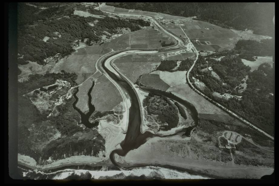
 Click on image to enlarge (46K).
Low elevation oblique air photo of Redwood Creek Estuary, possibly taken during high flow in January of 1998. Note the high water table and how the channel is confined by the levees. See the tour section in the Estuary sub-basin for more images. Click on the "zoom" and "pan" buttons above to use your mouse to move around the photo. Image courtesy of Redwood National Park.
 Click on image to enlarge (150K).
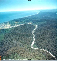
Low elevation oblique air photo of Lower Redwood Creek near Elam Creek from June 20 1997. Click on the "pan" button above to use your mouse to move around the photo. Image courtesy of Redwood National Park.
 Click on image to enlarge (113K).
Low elevation oblique air photo of Lower Redwood Creek near the Tall Trees Grove from June 20 1997. Click on the "pan" button above to use your mouse to move around the photo. Image courtesy of Redwood National Park.
 Click on image to enlarge (131K).
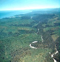
Low elevation oblique air photo facing North West of Middle Redwood Creek near Redwood Valley on June 20 1997. Click on the "pan" button above to use your mouse to move around the photo. Image courtesy of Redwood National Park.
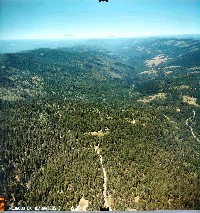
 Click on image to enlarge (192K).
Low elevation oblique air photo of Middle Redwood Creek near Dolason Prairie on June 20 1997. Click on the "pan" button above to use your mouse to move around the photo. Image courtesy of Redwood National Park.
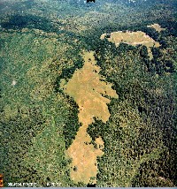
 Click on image to enlarge (55K).
Air photo of Upper Redwood Creek taken from a commercial jet. Old Campbell Creek (aka Madden Creek) draining to the South Fork Trinity River is in the middle of the picture and the left side of the picture drains into Bradford Creek tributary of Upper Redwood Creek. Image courtesy of Redwood National Park.
 Click on image to enlarge (178K).
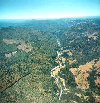
Low elevation oblique air photo of Upper Redwood Creek near the headwaters from June 20 1997. Click on the "pan" button above to use your mouse to move around the photo. Image courtesy of Redwood National Park.

 Click on image to enlarge (78K).
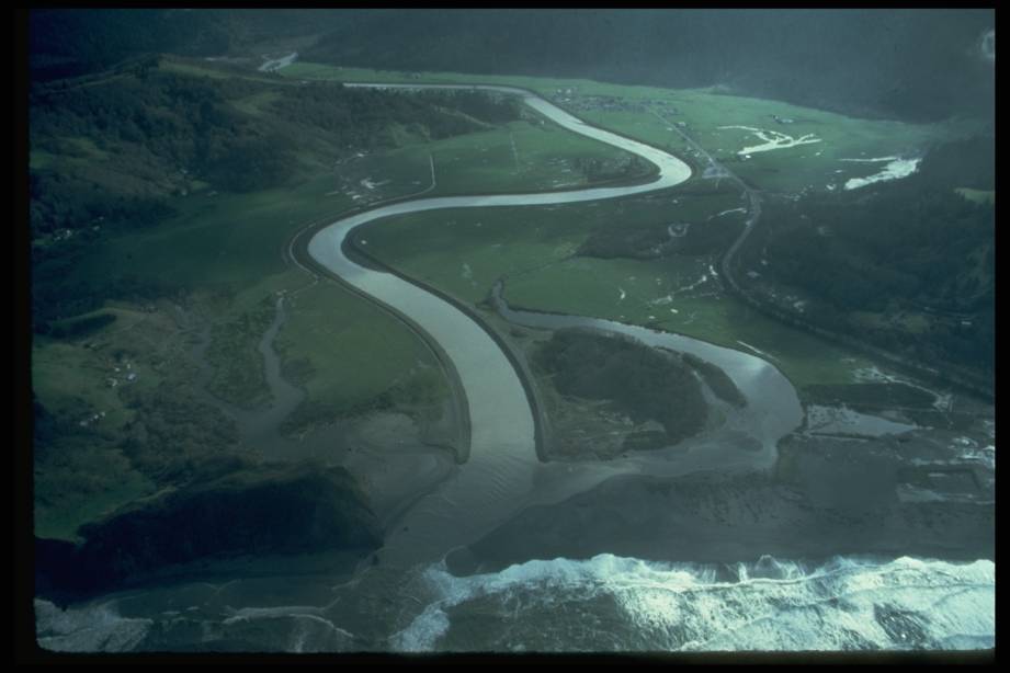 Click on image to enlarge (46K).
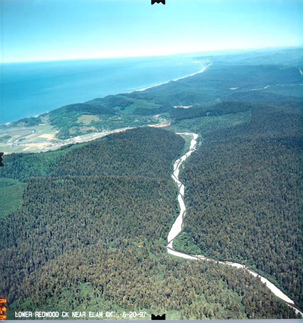 Click on image to enlarge (150K).
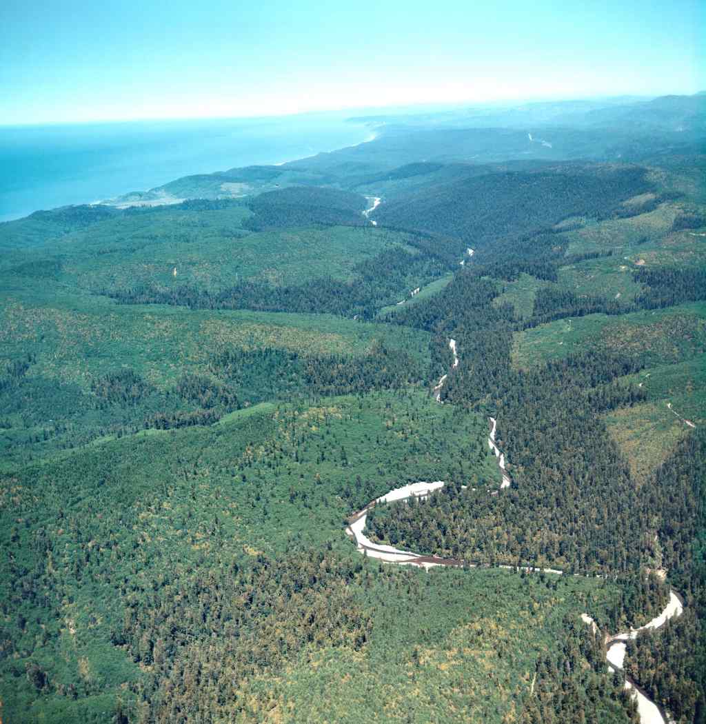 Click on image to enlarge (113K).
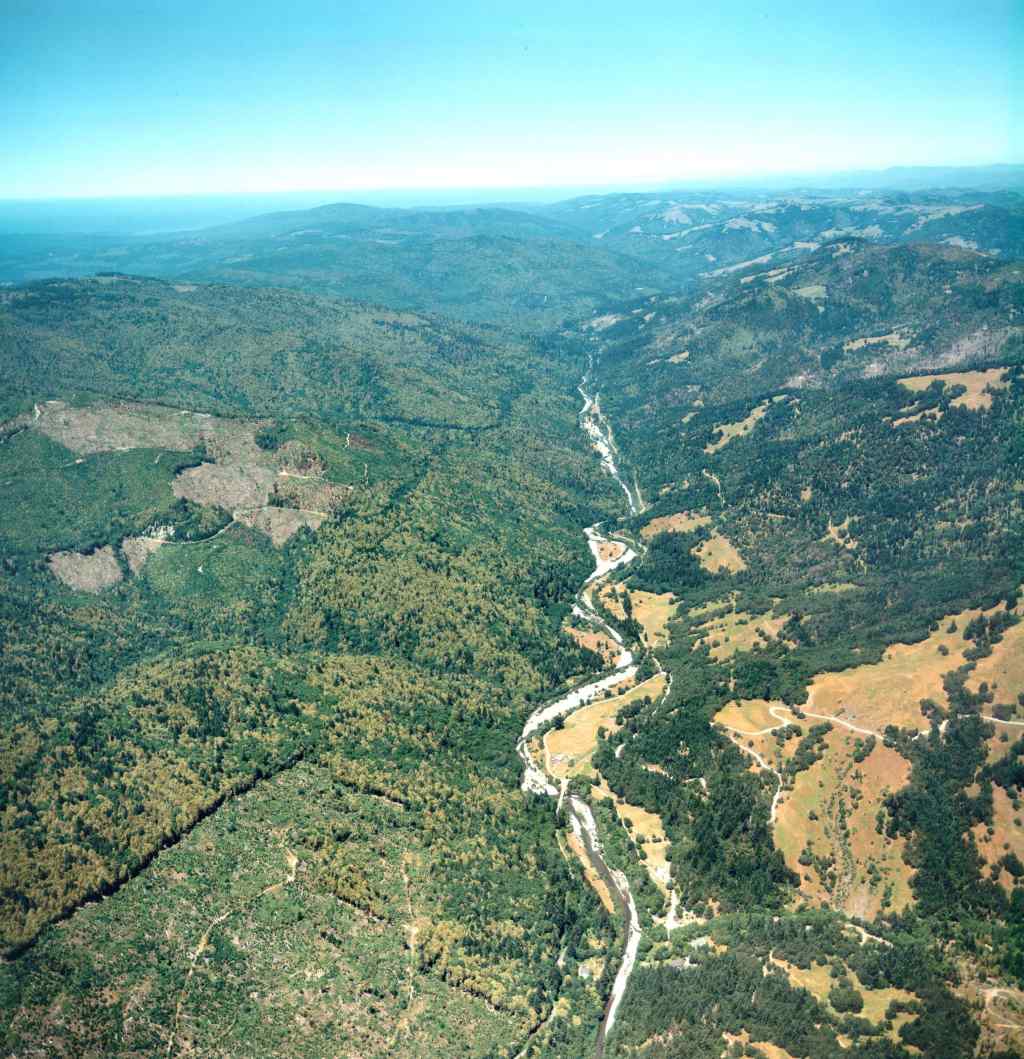 Click on image to enlarge (131K).
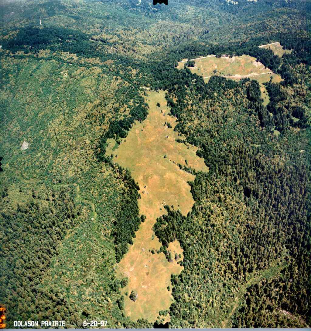 Click on image to enlarge (192K).
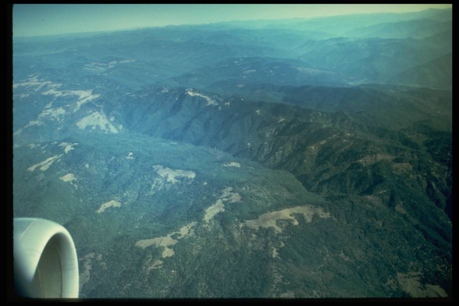 Click on image to enlarge (55K).
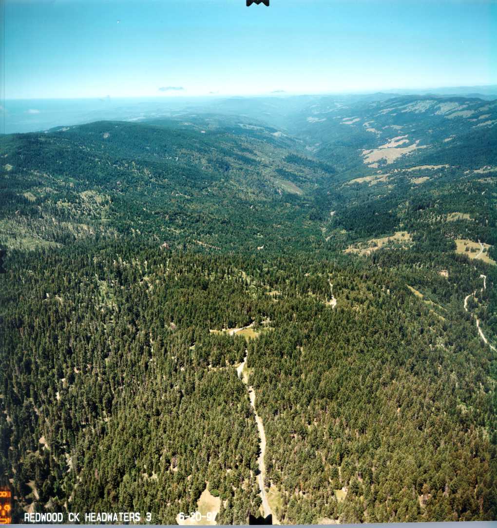 Click on image to enlarge (178K).