Bibliography Background About KRIS
How to Get KRIS CDs
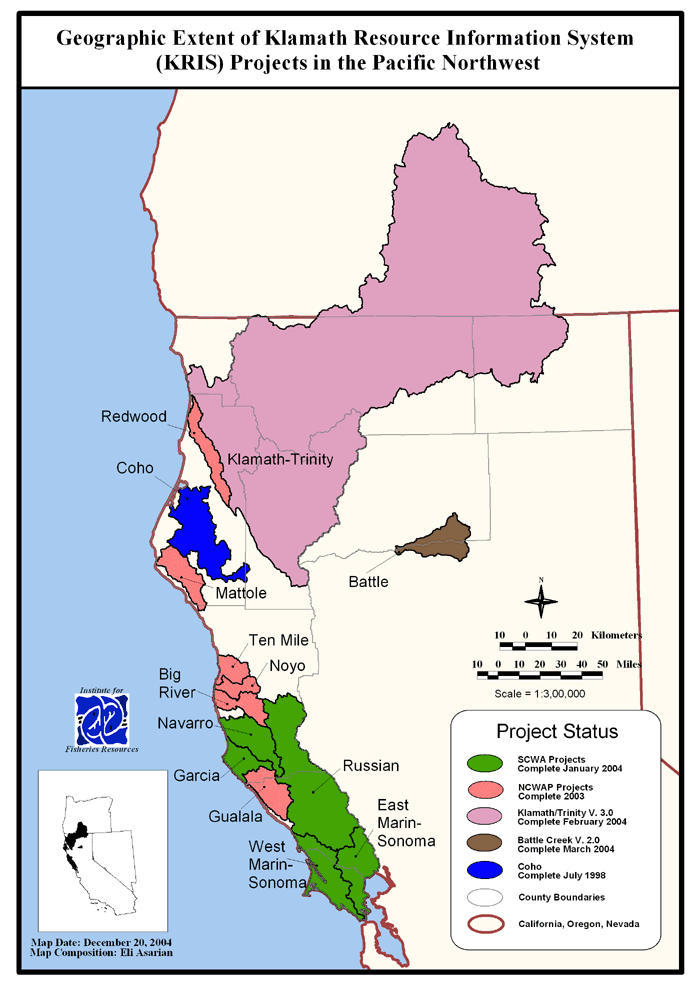
The Klamath Resource Information System (KRIS) is a Windows-based computer program that allows easy access to maps, data tables, charts, photographs and bibliographic materials relevant to fisheries, water quality and watershed management. KRIS is custom built and is disseminated free on compact discs.
Each KRIS project also has a companion KRIS Map project that is distributed on a separate CD and requires ArcView GIS (Geographic Information System) software to operate. Older KRIS Map project CDs also come with associated ArcExplorer projects, which can be operated free of charge. In older KRIS projects, elements from the map projects appear as pictures inside KRIS. The newer KRIS projects (KRIS Klamath-Trinity version 3.0 and North Bay) contain a custom-programmed map viewer that allows the display of GIS data inside KRIS with standard GIS capabilities such as zooming in/out, rearranging map layers, and identifying features.
KRIS Klamath-Trinity Version 3.0
The Trinity County Resource Conservation District has assumed responsibility for updating the contents of KRIS Klamath-Trinity on behalf of the Trinity River Restoration Program. Funding is provided by the U.S. Bureau of Reclamation. To acquire KRIS Klamath-Trinity Version 3.0 CDs please contact:
Kelly D. Sheen, Technical Coordinator e-mail: ksheen@tcrcd.net
Trinity County Resource Conservation District
P. O. Box 1450, Weaverville, CA 96093
(530) 623-6004
|