| Area | Middle Klamath |
| Topic | Tour: 2002 Photo Points of Hopkins, Horse, and Humbug Creek |
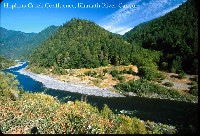
This photo shows the Hopkins Creek Confluence. Photo contributed by Michael Hentz 2002.
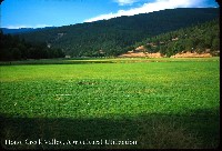
This photo shows Horse Creek Valley. Photo contributed by Michael Hentz 2002.
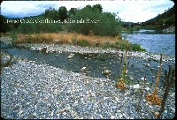
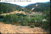
This photo shows the Horse Creek Confluence. Photo contributed by Michael Hentz 2002.
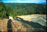
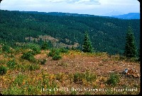
This photo shows the Horse Creek Uplands. Photo contributed by Michael Hentz 2002.
This photo shows the Horse Creek Uplands. The land ownership here is National Forest and private industrial timberland owners on alternating square miles. This "checkerboard" pattern reflects railroad land grants that have passed intact from railroad companies to timber companies over the years. Both Horse and Beaver Creek have very high road densities as well as high rates of timber harvest. Photo contributed by Michael Hentz 2002.
This photo shows the Humbug Creek Confluence. Photo contributed by Michael Hentz 2002.
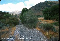
This photo shows the bed of Humbug Creek at the Old Klamath Hwy. Bridge. Photo contributed by Michael Hentz 2002.
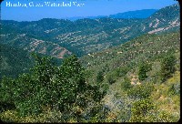
This photo shows the Humbug Creek watershed which was burned in the huge 1955 Haystack Fire. extensive salvage logging in that era largely promoted conversion from a forest ecosystem to chaparral. This area extends east from Beaver Creek to about Interstate 5. Photo contributed by Michael Hentz 2002.
 Click on image to enlarge (119K).
 Click on image to enlarge (84K).
 Click on image to enlarge (139K).
 Click on image to enlarge (129K).
 Click on image to enlarge (113K).
 Click on image to enlarge (123K).
 Click on image to enlarge (95K).
 Click on image to enlarge (127K).
To learn more about this topic click Info Links
To view additional information (data source, aquisition date etc.) about this page, click Metadata
| www.krisweb.com |
