| Area | Middle Klamath |
| Topic | Tour: 2002 Photo Points of Kings, Cub, Slate & Walker Creek |
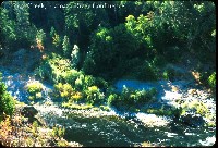
This photo shows the Kings Creek Confluence. Photo contributed by Michael Hentz 2002.
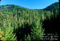
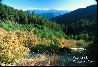
This photo shows Klamath Canyon from Western Marble Mtns. Photo contributed by Michael Hentz 2002.
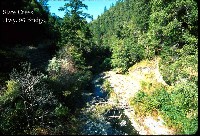
This photo shows Slate Creek from the Hwy. 96 Bridge. Photo contributed by Michael Hentz 2002.
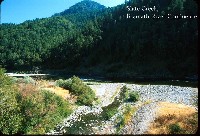
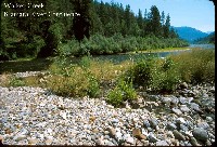
This photo shows the confluence of Slate Creek and the Klamath River, with Slate Creek barely flowing into the Klamath. Cold water may percolate below deltas like the one here at the mouth of Slate Creek even when surface flows are lost.. Photo contributed by Michael Hentz 2002.
This photo shows the Slate Creek watershed looking north into the high Siskiyou Mountains. Photo contributed by Michael Hentz 2002.
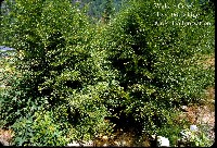
This photo shows Walker Creek at the Highway. 96 Bridge. Walker Creek suffered major debris torrent damage in January 1997 and alders have colonized the banks of the channel just five years later. Photo contributed by Michael Hentz 2002.
This photo shows the confluence of Walker Creek with the Klamath River. Photo contributed by Michael Hentz 2002.
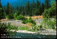
This photo shows the confluence of Walker Creek and the Klamath River with a large delta still apparent from the January 1997 storm. Photo contributed by Michael Hentz 2002.
 Click on image to enlarge (116K).
 Click on image to enlarge (134K).
 Click on image to enlarge (149K).
 Click on image to enlarge (108K).
 Click on image to enlarge (121K).
 Click on image to enlarge (200K).
 Click on image to enlarge (140K).
 Click on image to enlarge (135K).
To learn more about this topic click Info Links
To view additional information (data source, aquisition date etc.) about this page, click Metadata
| www.krisweb.com |
