| Area | Mainstem Trinity |
| Topic | Tour: 1997 High Water and Homes in Riparian |
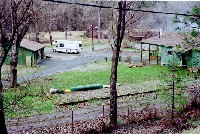
This picture shows streamside homes above Douglas City with the Trinity River still at high flow in mid-January 1997. Silt deposits around the recreational vehicle and in front of the green house show high water. Flow releases from Lewiston Dam were 6000 cfs during the storm which coupled with increased flows from Rush, Grass Valley and Deadwood Creeks.
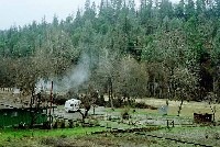
This picture shows the same locations as Picture #1 with the Trinity River still at high flow in mid-January 1997. Silt deposits and leaf deposit on the fence show the extent of high water..
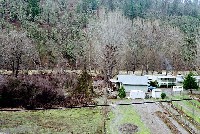
This picture shows another streamside home above Douglas City with the Trinity River still at high flow in mid-January 1997.
Trinity River still at high water in mid-January 1997 with water still surrounding yellow house just above Douglas City.
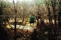
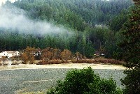
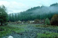
The Trinity River at Lime Point still flowing outside its summer low flow bed which is delimited by willow and alder. The houses in the riparian zone on the far bank are recently constructed.
River level view of the same homes shown in Picture #5 taken from public access at Lime Point. Photo by Pat Higgins taken in mid-January 1997.
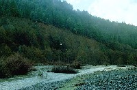
Trinity River just downstream of Lime Point still at moderately high flow in mid-January 1997. The debris pattern at far lower right shows the extent of January 1, 1997 flows. Willows and alders toward the far side of the channel represent summer low flow channel. Cutbank on the far side is a product of hydraulic mining for gold in the late 1800's.
 Click on image to enlarge (91K).
 Click on image to enlarge (64K).
 Click on image to enlarge (98K).
 Click on image to enlarge (124K).
 Click on image to enlarge (63K).
 Click on image to enlarge (56K).
 Click on image to enlarge (58K).
To learn more about this topic click Info Links
To view additional information (data source, aquisition date etc.) about this page, click Metadata
| www.krisweb.com |
