| Area | Scott River |
| Topic | Tour: 2002 Photo Points of Scott River #3 (Valley Reach) |
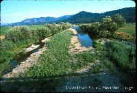
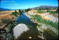
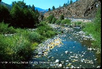
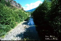
This photo shows the Scott River Vally at Fort Jones Bridge. The dam being constructed is an attempt to improve ground water recharge and there is water by-passing the project in pipes (see Picture #2). Photo contributed by Michael Hentz. 2002.
This photo shows the Scott River at Fort Jones Bridge looking downstream. Note the pipe by-passing flow around dam construction. Photo contributed by Michael Hentz. 2002.
This photo shows the dry bed of the Scott River in a reach near the airport south of Fort Jones Bridge looking upstream. Photo contributed by Michael Hentz. 2002.
This photo shows the Scott River bed looking off a bridge not far north of the airport. Photo contributed by Michael Hentz. 2002.
This photo shows the Scott River at Meamber Bridge.The large humps formed by gravel bars in mid channel suggest active sediment supply and aggradation. Photo contributed by Michael Hentz. 2002.
This photo shows the Scott River at a bridge south of Etna looking downstream towards Ft. Jones. Photo contributed by Michael Hentz. 2002.
This photo shows the Scott River near Callahan. Photo contributed by Michael Hentz. 2002.
This photo shows the Scott River near Callahan. Photo contributed by Michael Hentz. 2002.
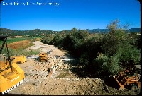 Click on image to enlarge (98K).
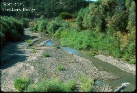 Click on image to enlarge (124K).
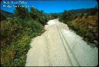 Click on image to enlarge (104K).
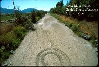 Click on image to enlarge (109K).
 Click on image to enlarge (109K).
 Click on image to enlarge (128K).
 Click on image to enlarge (138K).
 Click on image to enlarge (134K).
To learn more about this topic click Info Links
To view additional information (data source, aquisition date etc.) about this page, click Metadata
| www.krisweb.com |
