| Area | S.F. Trinity |
| Topic | Tour: South Fork Trinity Mainstem Photos |
This photo shows the confluence of the South Fork Trinity River (at left) and the main stem Trinity River just above Willow Creek. This 1980's photo shows elevated turbidity in the South Fork. Photo courtesy of Bill Brock.
South Fork Trinity River at Slide Creek just below Hyampom. The white material in the center of the photo was part of a huge landslide initiated to the left of the photograph which probably partially blocked the river's flow at this point. The river has since cut through the material. Photo taken by Pat Higgins.
The South Fork Trinity River at Hyampom increased from about 500 feet wide prior to the 1964 flood to 1800 feet wide afterward. Sediment deposited by the flood was estimated to be greater than 24 feet. The hillslopes in the upper area of the photo still show scars from the 1987 Fires. 1990. Photo taken by Pat Higgins.
South Fork Trinity River above Butter Creek during very low flows in summer 1994. Photo taken by Pat Higgins.
South Fork Trinity River at Forest Glen, just below Rattlesnake Creek. Photo taken by Pat Higgins.
This photo shows the convergence of the South Fork Trinity River above the East Fork below the Yolla Bolly Wilderness area. Fall 1988. Photo taken by Pat Higgins.
Timber on South Fork Mountain from the air upstream of Forest Glen. The South Fork Trinity River is easily recognizable because of stream side landslides. 1990. Photo taken by Pat Higgins.
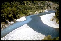 Click on image to enlarge (19K).
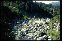 Click on image to enlarge (26K).
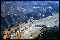 Click on image to enlarge (26K).
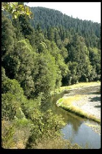 Click on image to enlarge (27K).
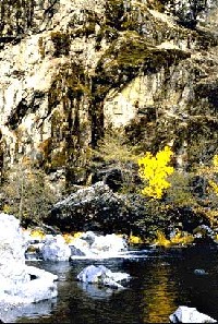 Click on image to enlarge (37K).
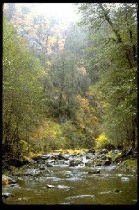 Click on image to enlarge (25K).
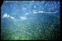 Click on image to enlarge (30K).
To learn more about this topic click Info Links
To view additional information (data source, aquisition date etc.) about this page, click Metadata
| www.krisweb.com |
